Photography gallery

Beauty of Bangladesh

Still moments from across the country — mangrove silence, monsoon light, the city at midnight, and hills above the clouds.

Hover or tap a photo for location, description and photographer credit. All images used under Creative Commons or free-use licences with full attribution.

Share your Bangladesh photography

Photographers with compelling images of Bangladesh — cinematic or documentary — are welcome to submit work for potential inclusion in this gallery. Every accepted image is credited with a link to your portfolio or profile. We review all submissions and respond within 2 weeks.

Submission guidelines: minimum 2400px wide, landscape or portrait, freely licensable (CC or Pexels/Unsplash), your own original work. No retouching beyond standard exposure/colour correction.

Submit a photo →

Photos are reviewed within 2 weeks. We'll email to confirm details before publishing.
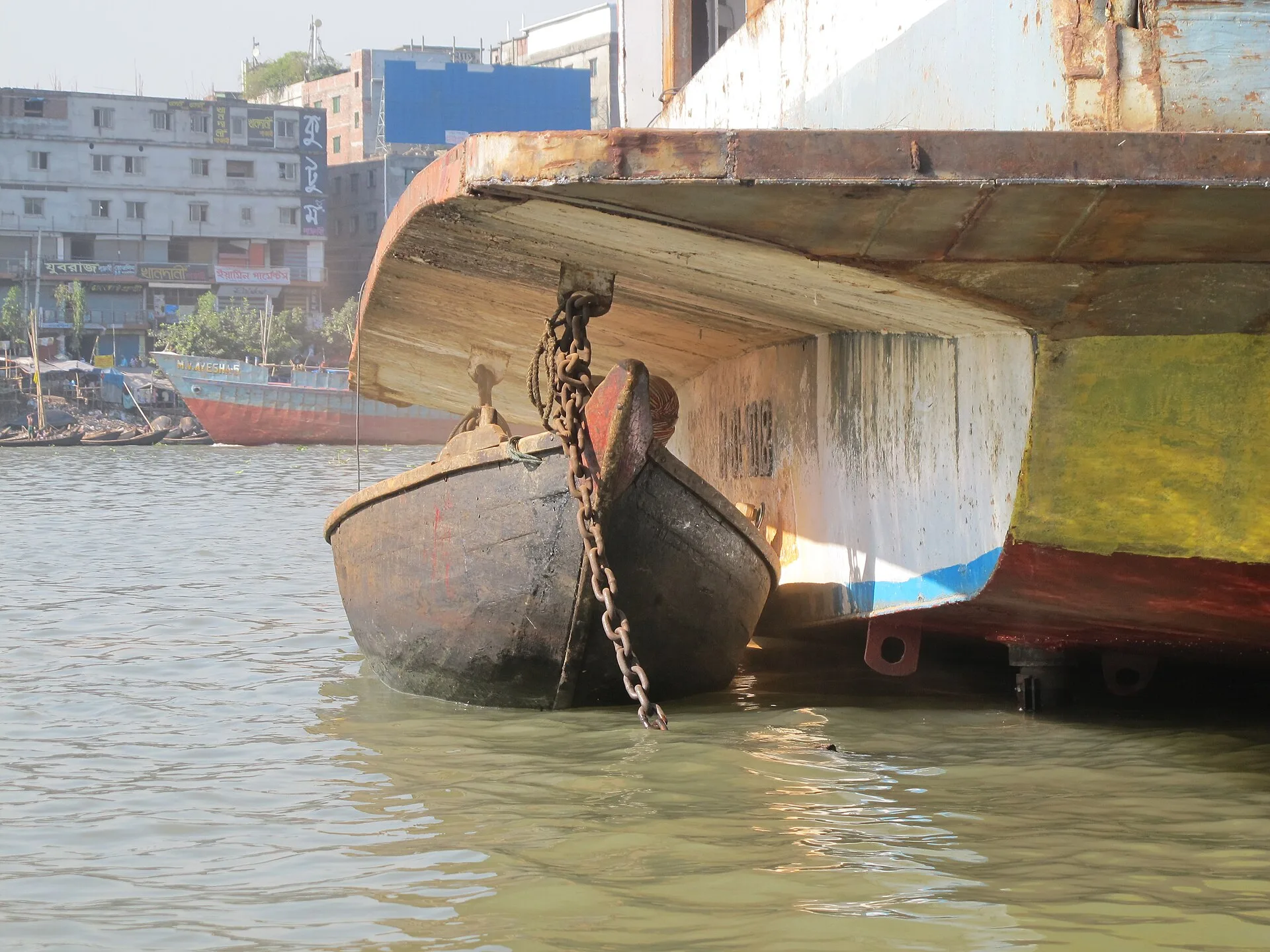
Wooden boats and river traffic on the Buriganga, Old Dhaka
Buriganga River, Old Dhaka The river that made Dhaka: a constant procession of ferries, launches and wooden craft carrying lives across the city's oldest artery. Photo by Kritzolina · CC BY-SA 4.0
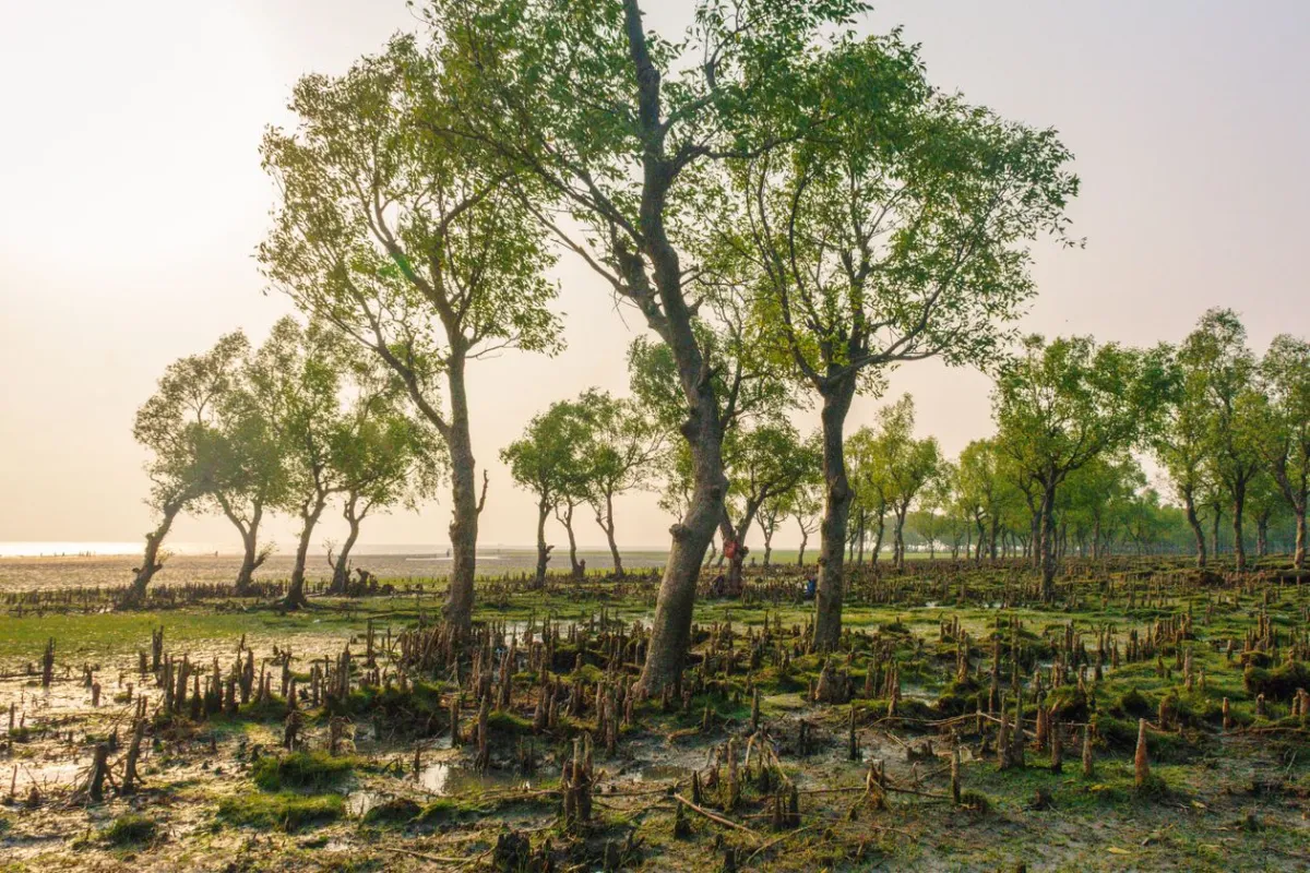
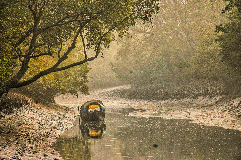
Morning light filtering through the mangrove canopy, Sundarbans
Sundarbans, Bangladesh First light slipping through the mangrove canopy — the hour the forest belongs to itself, before the boats arrive. Photo by Ramijul Islam · Pexels Free Licence
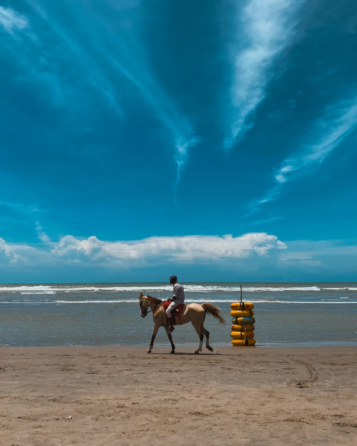
A horse rider galloping along the surf line at Cox's Bazar beach
Cox's Bazar — 120 km of beach Sunrise on the world's longest natural sea beach. At this hour the sand is empty, the light is gold, and the horses own the surf line. Photo by Md Nafizur Rahman · Pexels Free Licence
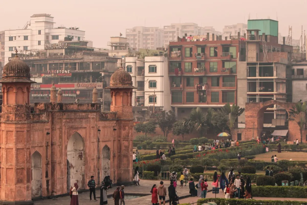
Lalbagh Fort, Old Dhaka, against a blue sky
Lalbagh Fort, Old Dhaka A 17th-century Mughal citadel that was never finished — the death of the builder's daughter mid-construction was taken as an omen to stop. Photo by Thinho 7 · Pexels Free Licence
Cloud-wrapped ridgelines at Sajek Valley, Chittagong Hill Tracts
Sajek Valley, Chittagong Hill Tracts At 1,476m, Sajek sits above the clouds at dawn. The ridgelines emerge slowly; the valleys stay hidden for an hour more. Photo by Ahnaf010 · CC BY-SA 4.0
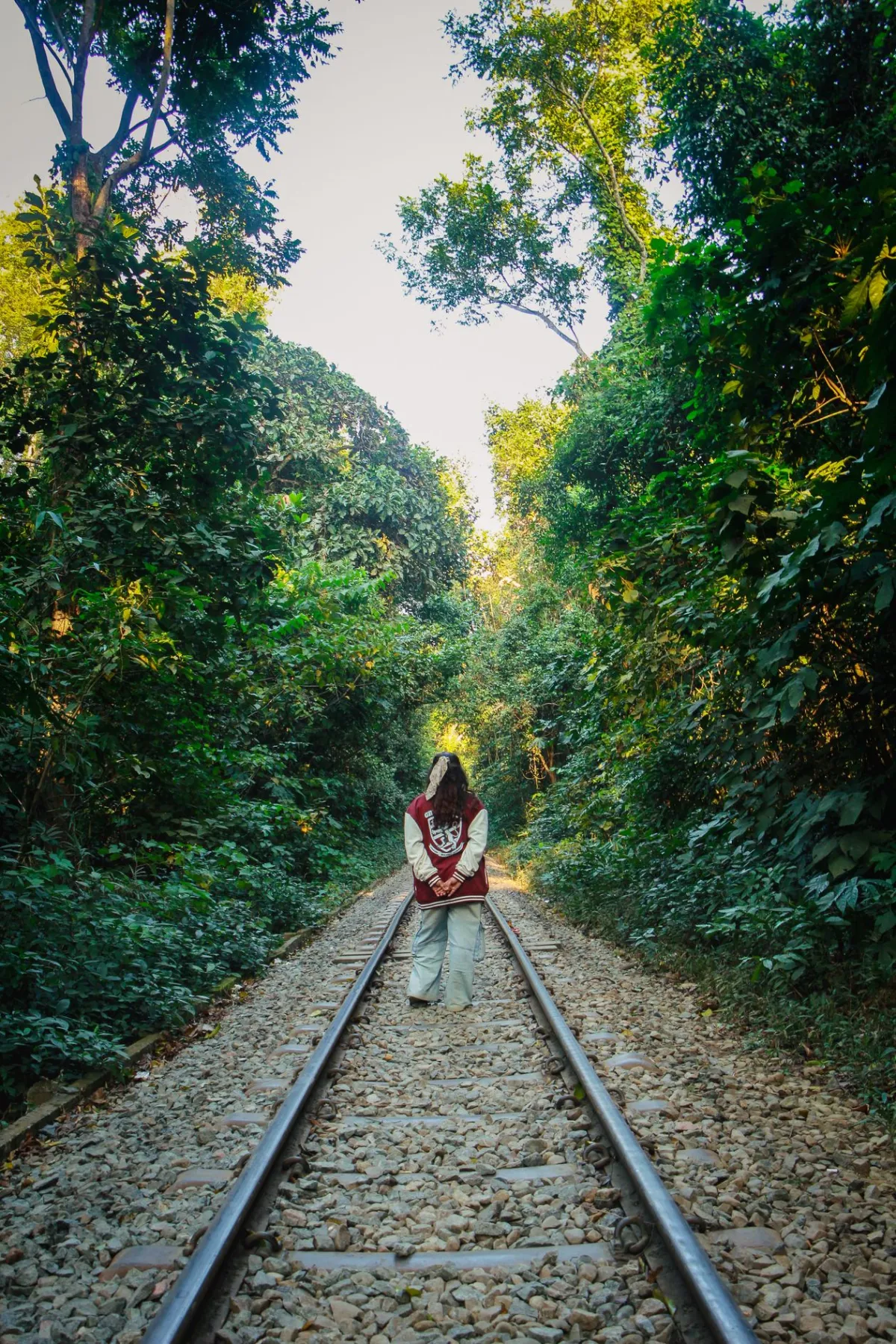
A woman walking along a jungle railway track in Sylhet
Railway through the hills, Sylhet Sylhet's forested railway is one of the most scenic train rides in South Asia — a slow corridor through bamboo, jungle and tea estate. Photo by Tanha Tamanna Syed · Pexels Free Licence
A Royal Bengal Tiger walking along a mudbank in the Sundarbans
Sundarbans — Bengal Tiger The world's largest tiger population lives here among the tidal mangroves. Seeing one is rare. The pugmarks in the mud are not. Photo by Jayne Stockdale · CC BY-SA 4.0
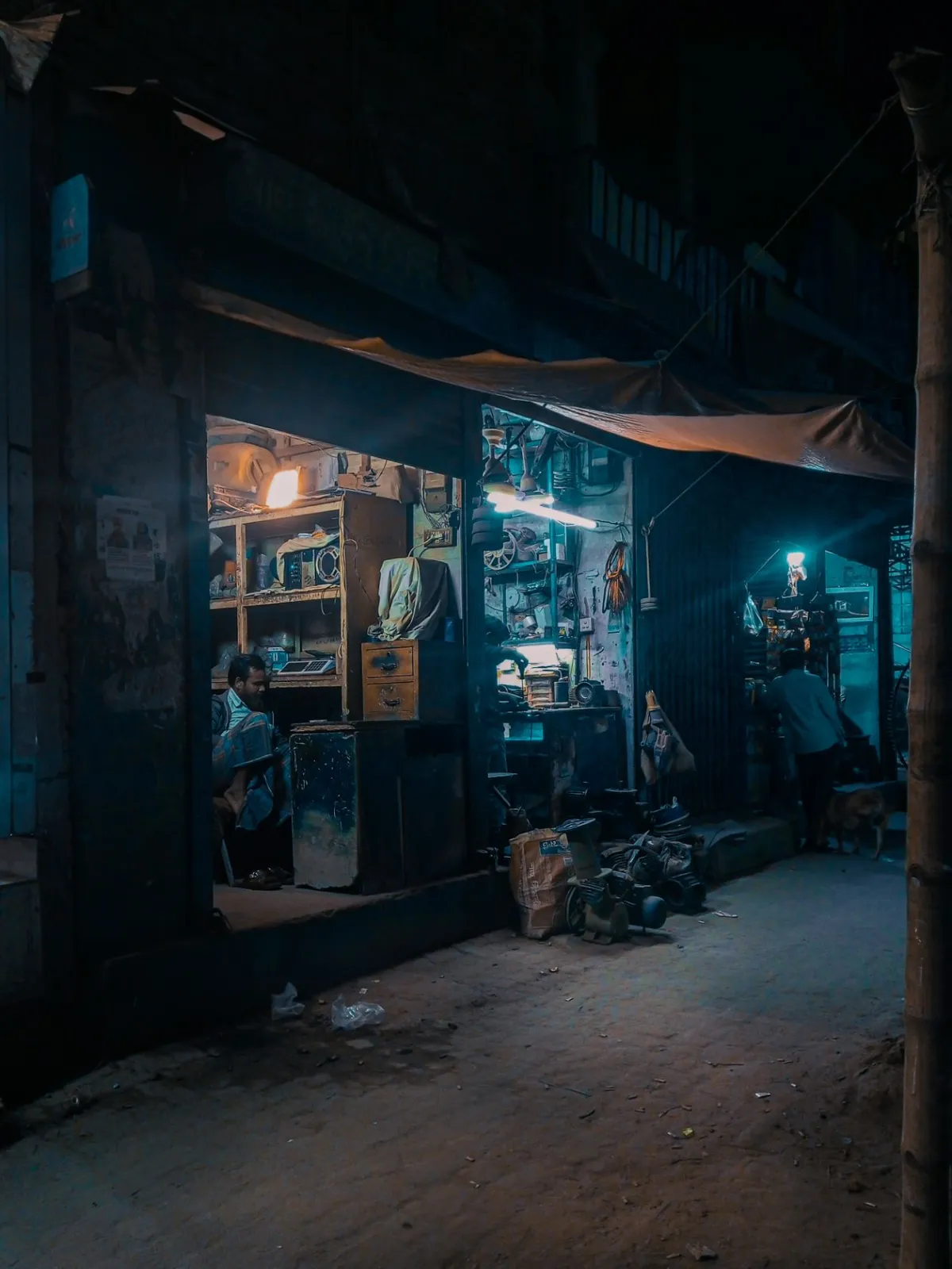
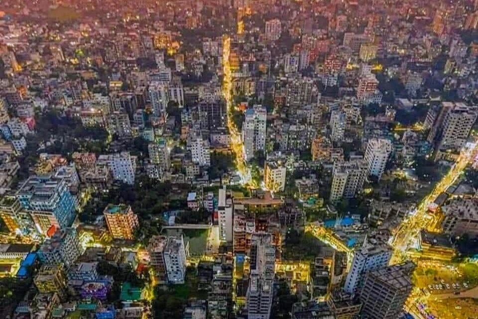
Cinematic nighttime street scene in Dhaka, Bangladesh
Dhaka at night After dark, the city finds a different rhythm — shop-light warm, the streets still busy, the noise softer somehow. Photo by Nafiz Barakah · Pexels Free Licence
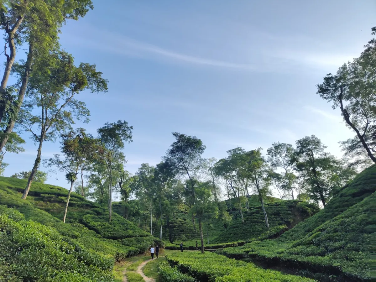
Rows of tea plants on the hillsides of Sreemangal, Sylhet
Tea estates, Sreemangal, Sylhet Six thousand hectares of tea in the hills of Sreemangal — Bangladesh's tea capital, the source of the famous seven-layer tea. Photo by Kritzolina · CC BY-SA 4.0
Traditional sampan fishing boat moored at Teknaf beach, Cox's Bazar
Teknaf Beach, Cox's Bazar A sampan rests on the shore at the southern end of the world's longest beach — the same vessels that carry passengers to Saint Martin's Island. Photo by Masum-al-Hasan Rocky · CC BY-SA 4.0
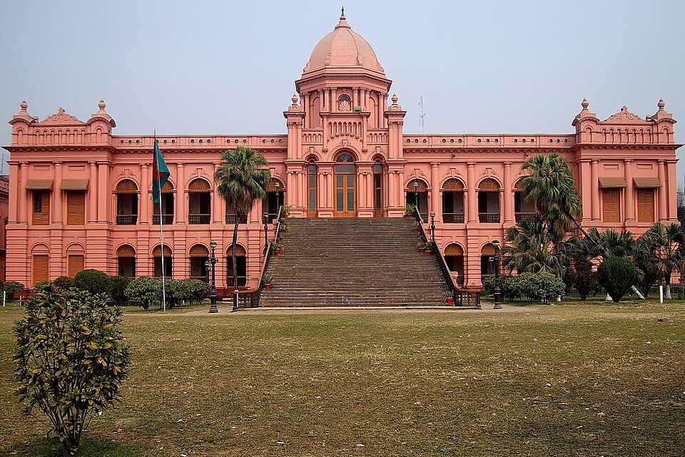
Ahsan Manzil, the Pink Palace of the Nawabs of Dhaka, on the Buriganga riverfront
Ahsan Manzil, Old Dhaka The coral-pink palace of the Dhaka Nawabs, built in 1872 on the Buriganga riverfront — once the social centre of colonial-era Bengali nobility. Photo by Mahbub Hossain Shaheed · CC BY-SA 4.0
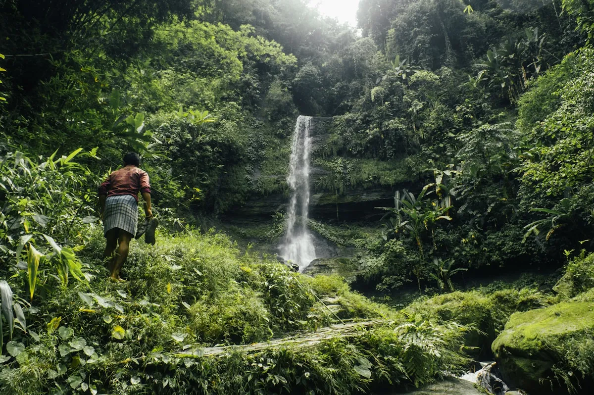
A waterfall cascading through lush forested hills in the Chittagong Hill Tracts
Chittagong Hill Tracts waterfall Hidden inside the forested valleys of the Hill Tracts, waterfalls drop through layers of jungle that most travellers never reach. Photo by Nishaan ahmed · Unsplash Licence
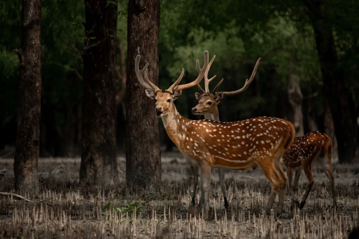
A spotted deer standing among mangrove trees in the Sundarbans
Spotted deer, Sundarbans The axis deer is among the most commonly sighted mammals in the Sundarbans — prey for tigers, and a perfect reason to watch quietly from the boat. Photo by Rafid Tahmid · Pexels Free Licence
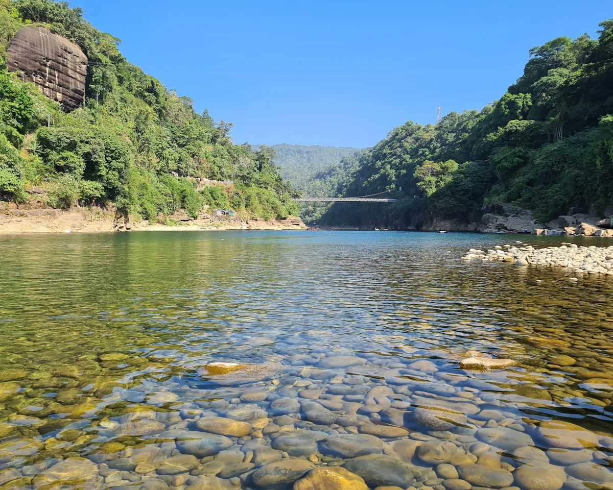
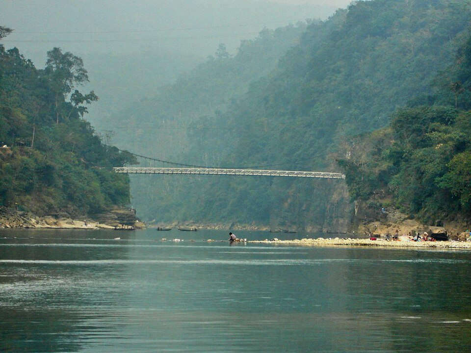
Crystal-clear river water over smooth stones at Jaflong, near the Meghalaya border
Jaflong, Sylhet — the Dawki River Where Bangladesh meets Meghalaya: the Dawki tumbles down from the Indian plateau carrying boulders polished glass-smooth. Locals sort them by colour on the bank. Photo by Md Sameul · Unsplash Licence
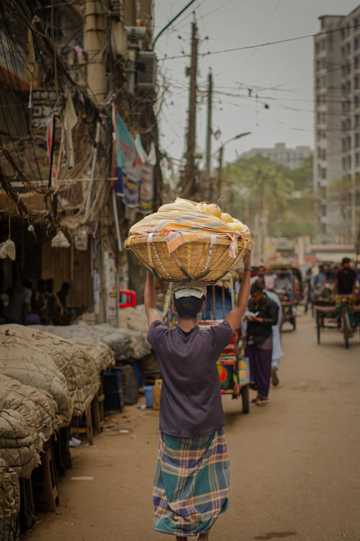
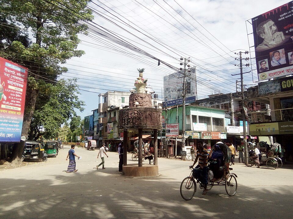
The vibrant street commerce of Old Dhaka's lanes
Street market, Old Dhaka The lanes of Old Dhaka have been trading the same goods — spices, fabric, brass, fish — for four hundred years. The noise and colour never lets up. Photo by Sabbir Bhuiyan · Pexels Free Licence
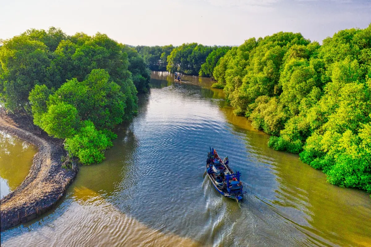
Aerial view of a boat navigating the tidal channels of the Sundarbans
Sundarbans waterways, from above From the air, the Sundarbans becomes pure geometry — 10,000 km² of interlocking channels, each one looking exactly like the next from the boat. Photo by Tom Fisk · Pexels Free Licence
Lush deep-green hillside landscape in Sylhet Division, Bangladesh
Sylhet Division, Bangladesh Bangladesh's rainiest corner — Sylhet gets twice the rainfall of most of the country, and the hills show it. This green has no equal in the dry season. Photo by Mohammad Rahman · Unsplash Licence
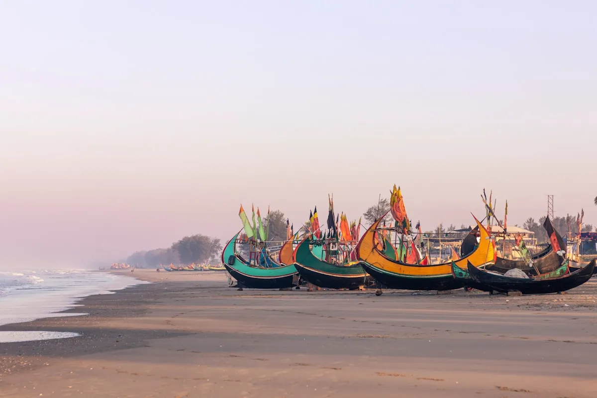
Colourful wooden fishing boats moored on the sandy shore at Cox's Bazar
Fishing fleet, Cox's Bazar The trawlers come in at dawn with their catch — painted every colour, salt-worn, listing with the weight of nets. The beach belongs to them first. Photo by Shakib Uzzaman · Unsplash Licence
The vast terracotta ruins of Somapura Mahavihara Buddhist monastery, Paharpur, North Bengal
Paharpur, North Bengal The largest Buddhist monastery in South Asia — 177 monks' cells surrounding a towering central stupa, 8th century Pala dynasty, flat plains stretching to the horizon. Photo: Wikimedia Commons · CC BY-SA 4.0
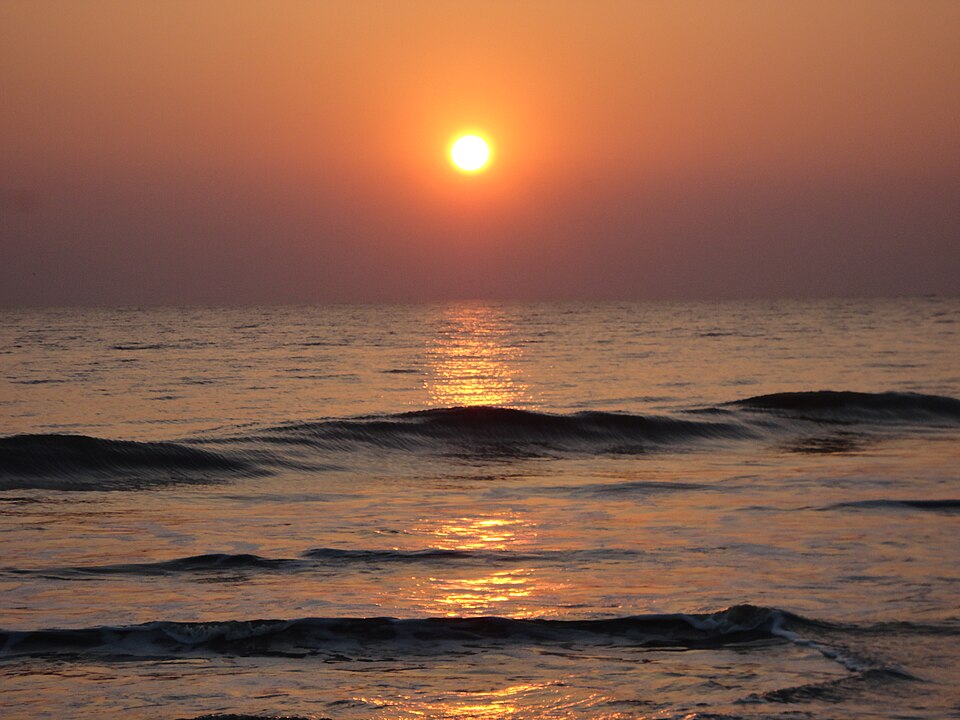
Wide sandy beach at Kuakata, Bay of Bengal — the two-horizon shore
Kuakata Beach, Bay of Bengal The only beach in Bangladesh from which sunrise and sunset are both visible from the same shore — 18 km of sand curving into the Bay of Bengal. Photo: Wikimedia Commons · CC BY-SA 4.0
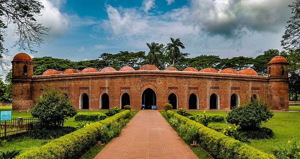
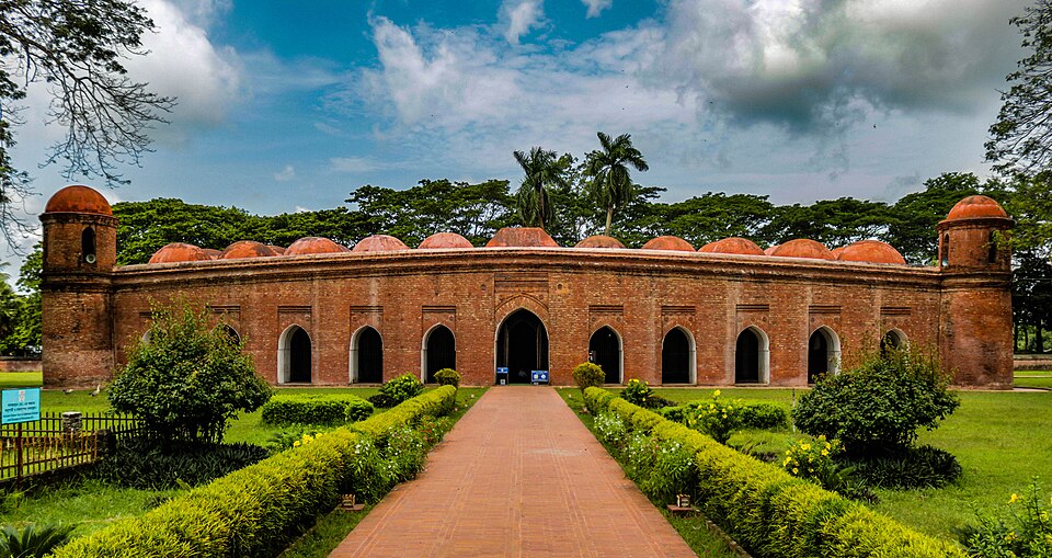
Exterior of the Sixty Dome Mosque, Bagerhat, Bangladesh — UNESCO World Heritage Site
Sixty Dome Mosque, Bagerhat Seventy-seven terracotta arches and sixty stone columns in a 15th-century mosque that is the finest surviving example of the Sultanate's architectural legacy. UNESCO World Heritage. Photo: Wikimedia Commons · CC BY-SA 4.0
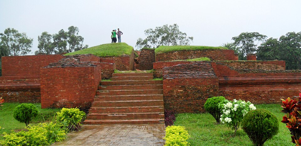
Brick ruins of Shalban Vihara Buddhist monastery at Mainamati, Comilla, Bangladesh
Shalban Vihara, Comilla An 8th-century Buddhist monastery uncovered in the 1950s from the low hills of Mainamati — the same era as Paharpur, and almost completely unknown to visitors. Photo: Sakib Ahmed Nasim · CC BY-SA 4.0
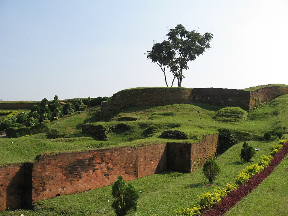
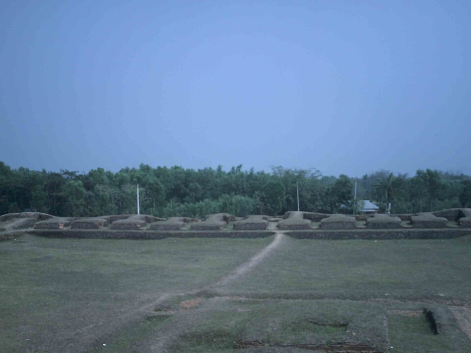
Ancient earthen ramparts of Mahasthangarh, Bangladesh's oldest archaeological site
Mahasthangarh, North Bengal Bangladesh's oldest urban site — occupied continuously since the 3rd century BC. Earth ramparts still rise 4.5 metres above the Karatoa riverbank. Photo: Wikimedia Commons · CC BY-SA 4.0
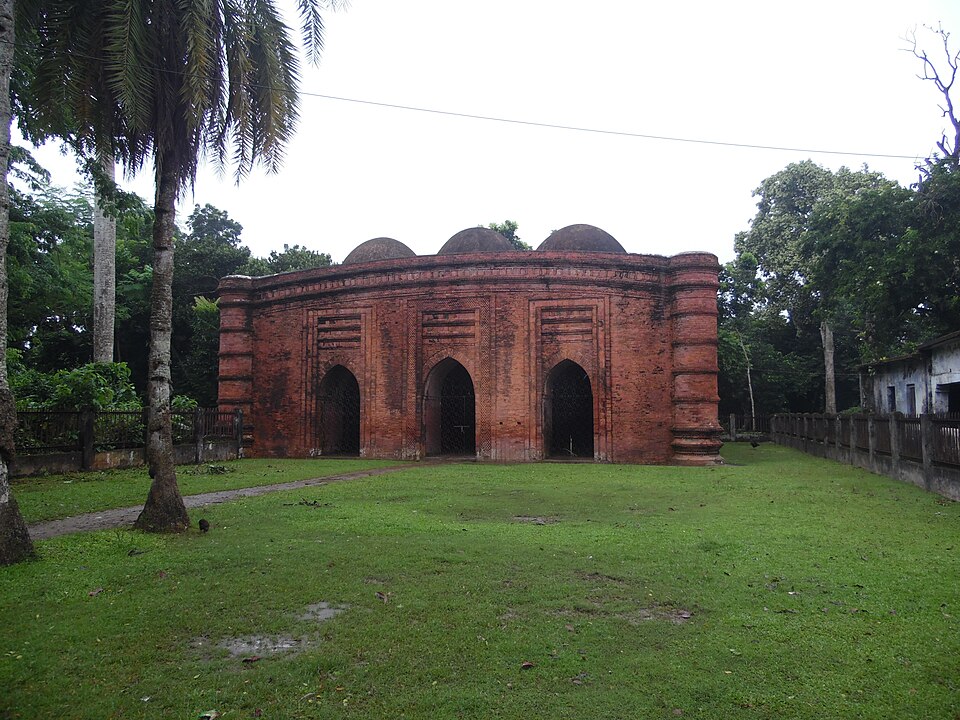
The Nine Dome Mosque in Bagerhat, Bangladesh — a smaller jewel of 15th-century Sultanate architecture
Nine Dome Mosque, Bagerhat Three rows of three terracotta domes, each subtly different, each a study in shadow at the right time of day. A five-minute walk from the Sixty Dome Mosque. Photo: Wikimedia Commons · CC BY-SA 4.0
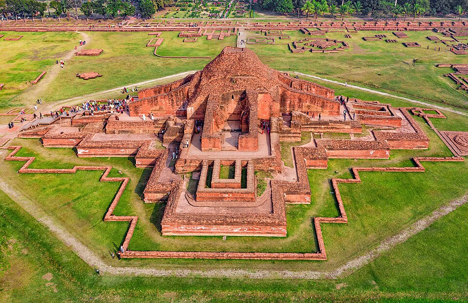
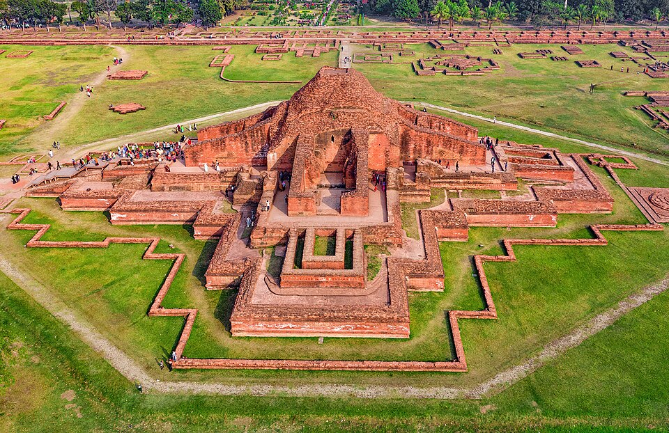
Aerial view of Somapura Mahavihara Buddhist monastery ruins at Paharpur, North Bengal, Bangladesh — UNESCO World Heritage Site
Somapura Mahavihara, Paharpur The great monastery of Paharpur — one of the largest Buddhist viharas south of the Himalayas. Eight centuries of monks prayed here before the 12th-century decline. Photo: Wikimedia Commons · CC BY-SA 4.0
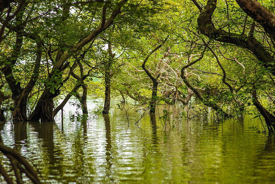
Flooded trees of Ratargul Swamp Forest reflected in dark water, Sylhet, Bangladesh
Ratargul Swamp Forest, Sylhet Bangladesh's only freshwater swamp forest — a fairy-tale tangle of submerged tree roots and mirrored dark water, reached by narrow wooden boat from Sylhet. Photo: Wikimedia Commons · CC BY-SA 4.0
Exterior of the Sixty Dome Mosque at Bagerhat, Bangladesh — UNESCO World Heritage, 15th century
Sixty Dome Mosque, Bagerhat The largest mosque in Bangladesh and one of the finest examples of Sultanate architecture in the subcontinent. Seventy-seven terracotta domes across the roofline, built in the 15th century. Photo: Wikimedia Commons · CC BY-SA 4.0
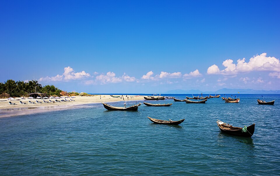
Fishing boats on crystal-blue water at Saint Martin's Island, Bangladesh — the country's only coral island
Saint Martin's Island, Cox's Bazar Bangladesh's only coral island — nine square kilometres of turquoise water, white sand and fishing villages at the tip of the country, an hour by boat from Teknaf. Photo: Wikimedia Commons · CC BY-SA 4.0
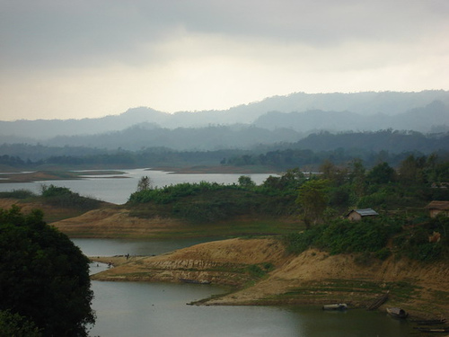
Kaptai Lake reservoir at golden hour, Rangamati, Chittagong Hill Tracts, Bangladesh
Kaptai Lake, Rangamati The great reservoir of the Chittagong Hill Tracts — 686 km² of still water between forested ridgelines, best explored by rented engine-boat or paddling into the silence. Photo: Wikimedia Commons · CC BY-SA 4.0
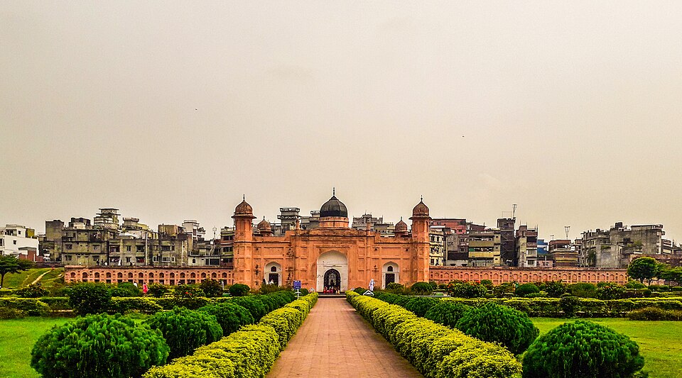
Lalbagh Fort, Old Dhaka — 17th-century Mughal fortress rising above the old city
Lalbagh Fort, Old Dhaka A 17th-century Mughal fort on the edge of Old Dhaka, unfinished for three centuries but immaculate in its state. The story behind the abandoned construction is more interesting than most completed buildings. Photo: Wikimedia Commons · CC BY-SA 4.0
Ahsan Manzil Pink Palace on the Buriganga River, Old Dhaka, Bangladesh
Ahsan Manzil, Old Dhaka The Pink Palace of the Nawabs of Dhaka — rose-coloured domes above the Buriganga River, now a museum of 19th-century zamindari life and one of Old Dhaka's most photographed facades. Photo: Wikimedia Commons · CC BY-SA 4.0
Jaflong Zero Point on the Piyain River, Sylhet, Bangladesh — clear mountain water over smooth boulders
Jaflong Zero Point, Sylhet Where the Piyain River flows in from Meghalaya — impossibly clear water over smooth rounded boulders, the India border just a stone's throw away, and Khasi hills rising into the mist. Photo: Wikimedia Commons · CC BY-SA 4.0
Rangamati town on the hillside above Kaptai Lake, Chittagong Hill Tracts, Bangladesh
Rangamati, Hill Tracts The hill town on Kaptai Lake — wooden stilted houses, the celebrated hanging bridge, and a market where Chakma, Marma, Tripura and Bengali communities trade side by side. Photo: Wikimedia Commons · CC BY-SA 4.0
Bandarban town set among forested hills, Chittagong Hill Tracts, Bangladesh
Bandarban, Hill Tracts The gateway to Bangladesh's highest peaks — a market town in a valley of ridgelines, where the road climbs to Nilgiri, Chimbuk and the cloud-level viewpoints that make this corner of the country feel like nowhere else. Photo: Wikimedia Commons · CC BY-SA 4.0
Sunset over Inani Beach, Cox's Bazar, Bangladesh — rocky foreshore and golden light on open sea
Inani Beach, Cox's Bazar Fourteen kilometres south of Cox's Bazar town, Inani's rocky reef shore offers a completely different beach mood — coral heads at low tide, golden evening light, and far fewer crowds than the main strip. Photo: Wikimedia Commons · CC BY-SA 4.0
Tanguar Haor wetland at sunrise with wooden houseboats and water birds, Sunamganj, Bangladesh
Tanguar Haor, Sunamganj Bangladesh's great open water. A Ramsar site in winter flood: houseboats drift through lily fields as tens of thousands of migratory birds fill the sky. Photo: Wikimedia Commons · CC BY-SA 4.0
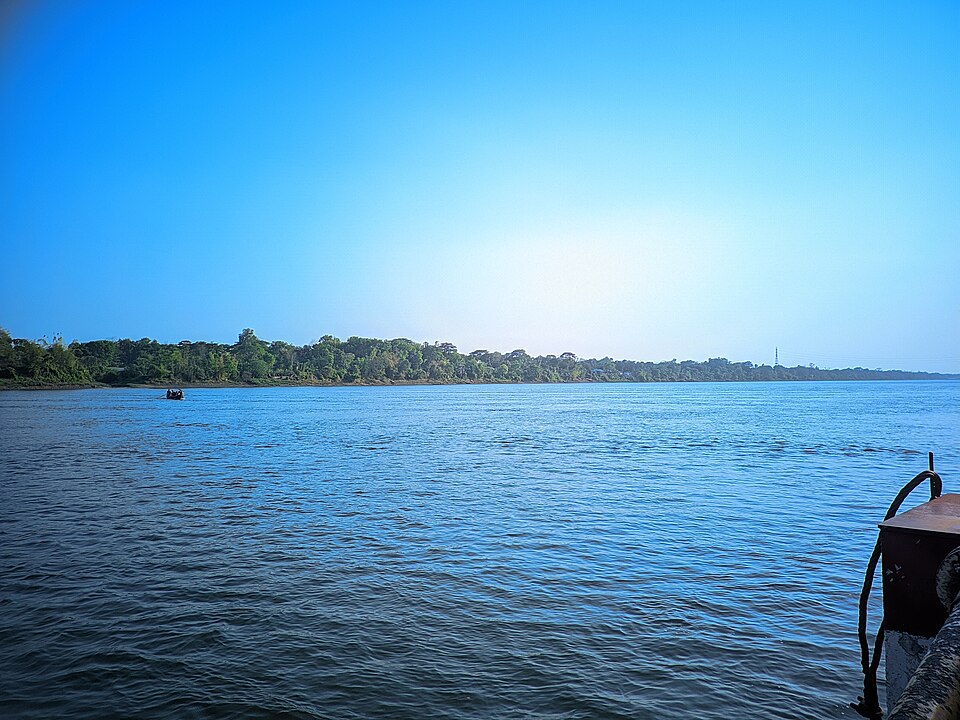
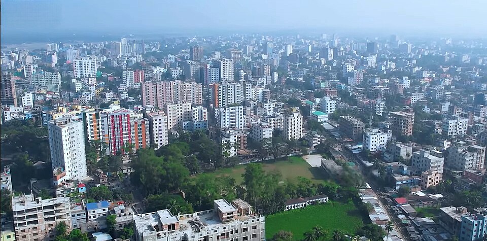
Mymensingh city riverside, Bangladesh — the Brahmaputra-facing district capital
Mymensingh Riverside The old district capital on the Brahmaputra — colonial bridges, a Zamindar palace now housing the agricultural university, and evening light on quiet water. Photo: Wikimedia Commons · CC BY-SA 4.0
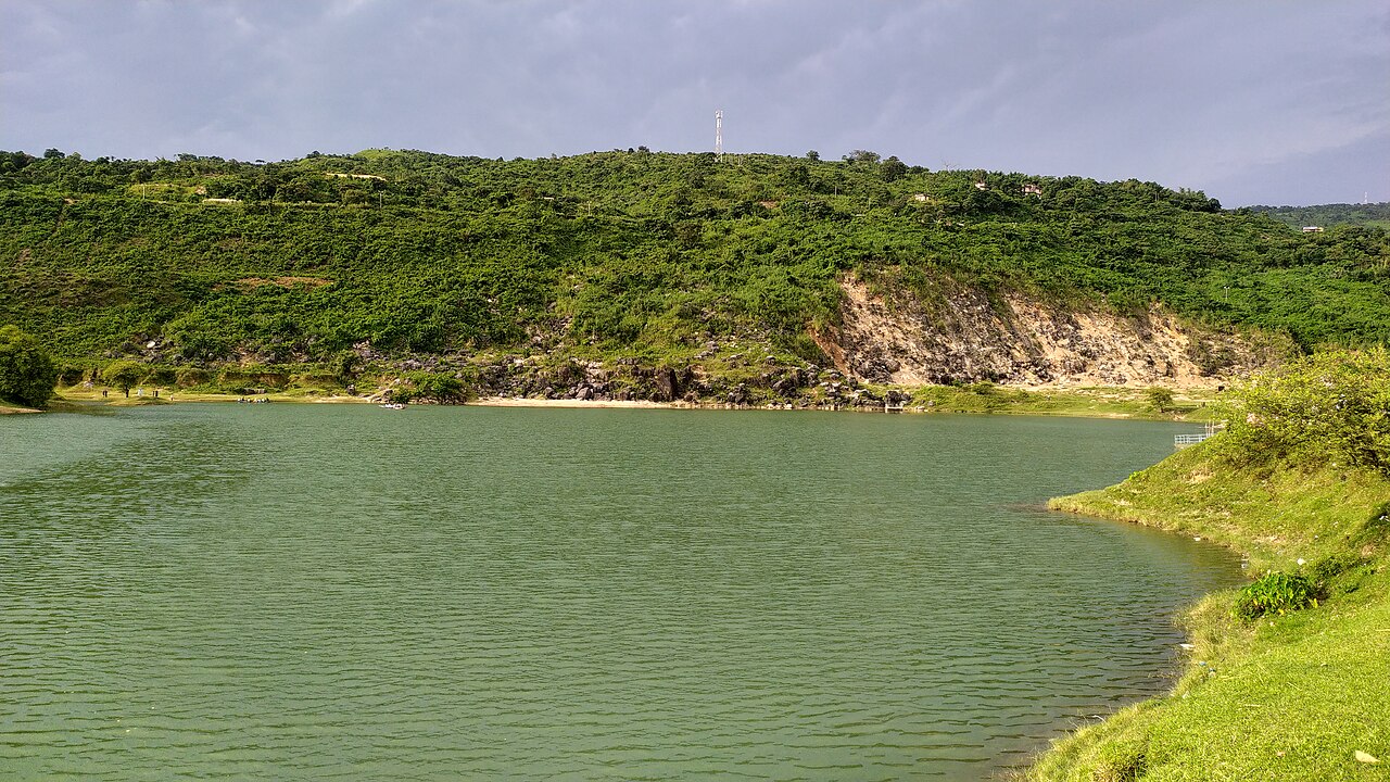
Turquoise water of Niladri Lake against a green quarry hillside, Sunamganj, Bangladesh
Niladri Lake, Sunamganj A flooded limestone quarry turned improbably turquoise, right up against the Meghalaya hills — one of the haor region's strangest, most photogenic detours. Photo by Rocky Masum · CC BY-SA 4.0
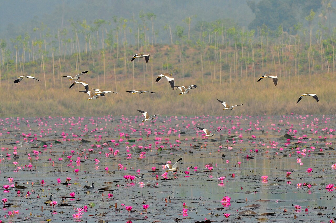
A flock of migratory birds in flight over pink water lilies in a haor wetland, Bangladesh
Haor wetland, near Sylhet Migratory waterfowl lift off over a lily-covered haor on a foggy winter morning — the scene that draws birders to Bangladesh's wetlands every November. Photo by Md Rafayat Haque Khan · CC BY-SA 4.0
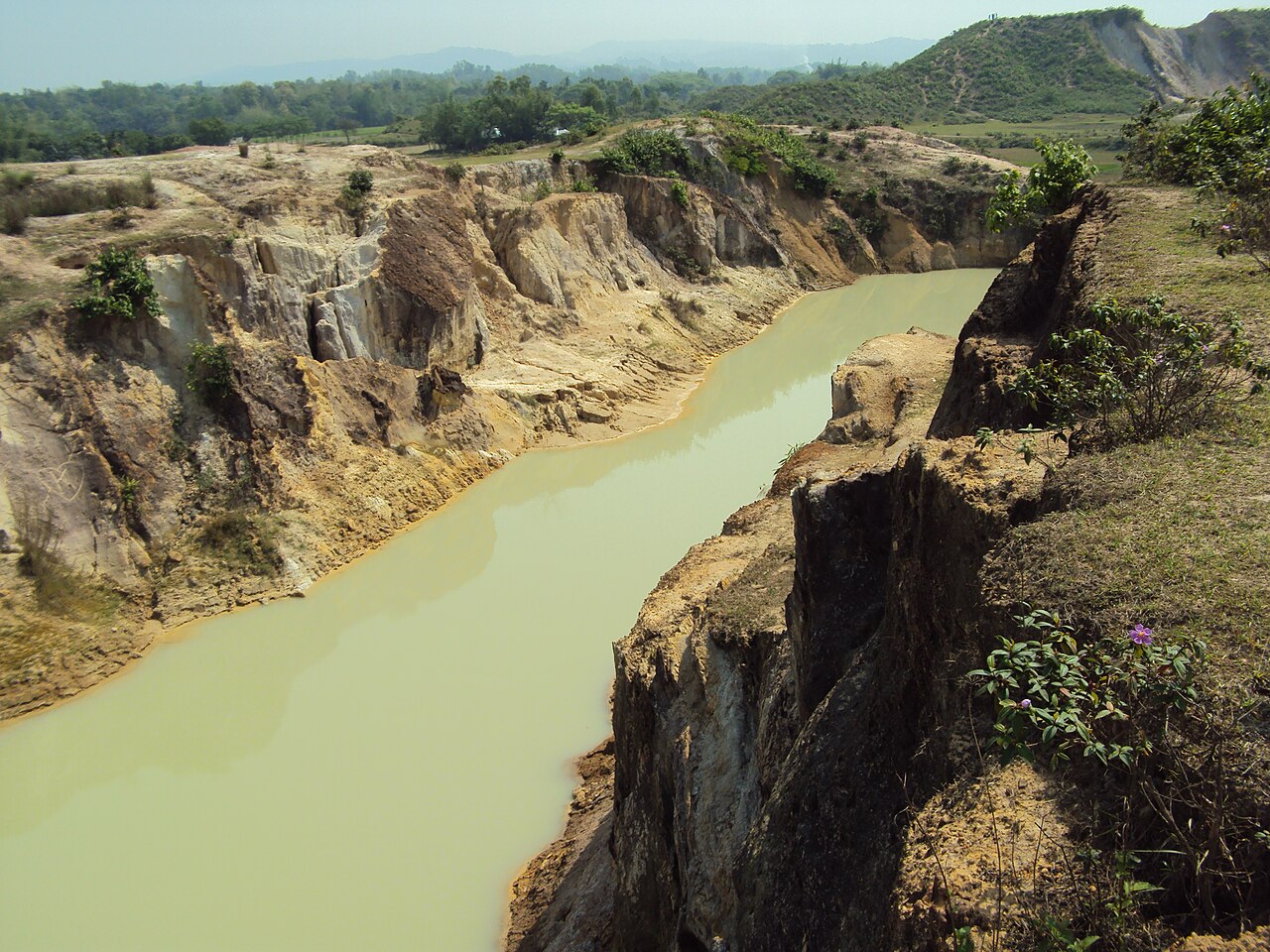
White china-clay cliffs above a golden river at Birishiri, Netrokona, Bangladesh
Birishiri, Netrokona Carved china-clay cliffs, striped white and ochre, above a river the colour of weak tea — a surreal landscape most visitors wade straight across. Photo by MithunAhamed · CC BY-SA 4.0
Khan Jahan Ali shrine and tank, Bagerhat, Bangladesh
Khan Jahan Ali Shrine, Bagerhat The mausoleum of Bagerhat's 15th-century founder, beside a sacred tank of saltwater crocodiles fed by pilgrims for centuries. Photo: Wikimedia Commons · CC BY-SA 4.0
Dharmasagar Lake, Comilla, Bangladesh
Dharmasagar Lake, Comilla A large medieval lake dug in 1458 by Raja Dharma Manikya. At dawn, fishermen cast hand nets from dugout canoes while egrets stalk the shallows. Photo: Wikimedia Commons · CC BY-SA 4.0
Mainamati Buddhist ruins, Comilla, Bangladesh
Mainamati, Comilla The wider Mainamati monastic complex — terracotta stupas and monastery ruins spanning the 7th to 12th centuries, spread across a low ridge outside the city. Photo: Wikimedia Commons · CC BY-SA 4.0
Fatrar Char mangrove island, Kuakata, Bangladesh
Fatrar Char, Kuakata A dense mangrove island reached by boat — a miniature Sundarbans, with spotted deer, occasional crocodiles, and roosting migratory birds in winter. Photo: Wikimedia Commons · CC BY-SA 4.0
Rakhine community, Kuakata, Bangladesh
Rakhine Village, Kuakata A living Rakhine (Arakanese) settlement on the shore, where women still weave traditional cloth on backstrap looms. Photo: Wikimedia Commons · CC BY-SA 4.0
Green haor plain and the Garo Hills at Durgapur, Netrokona, Bangladesh
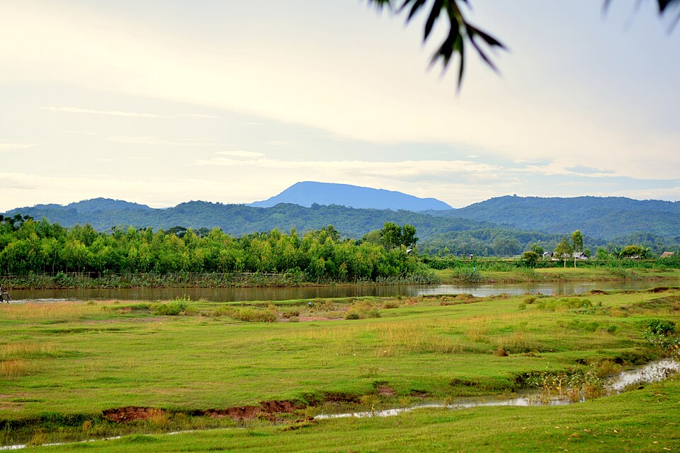
Durgapur, Netrokona A flooded green plain with the Garo Hills of the India border rising behind — open country close to the Birishiri china-clay hills. Photo by Shubha Sarker · CC BY-SA 4.0
Puthia Temple Complex, Rajshahi, North Bengal, Bangladesh
Puthia Temple Complex, Rajshahi Bangladesh's largest concentration of Hindu temples on a single estate — terracotta-carved towers from the 17th to 19th century around a sacred tank. Photo: Wikimedia Commons · CC BY-SA 4.0
Varendra Research Museum, Rajshahi, Bangladesh
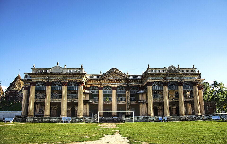
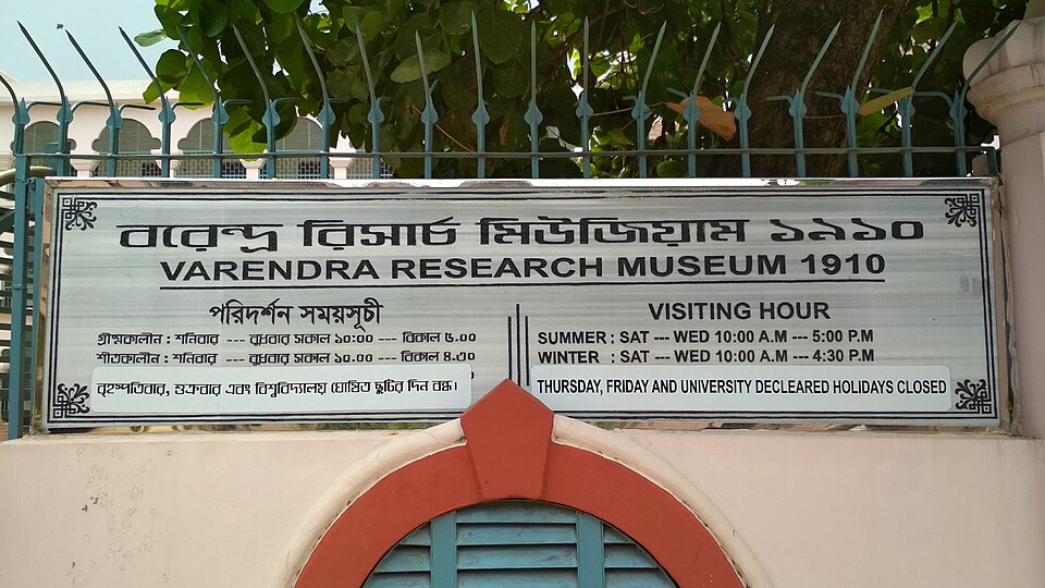
Varendra Research Museum, Rajshahi Bangladesh's oldest museum, founded 1910 — Pala-era Buddhist bronzes, Sanskrit inscriptions and terracotta artefacts from across Bengal. Photo: Wikimedia Commons · CC BY-SA 4.0
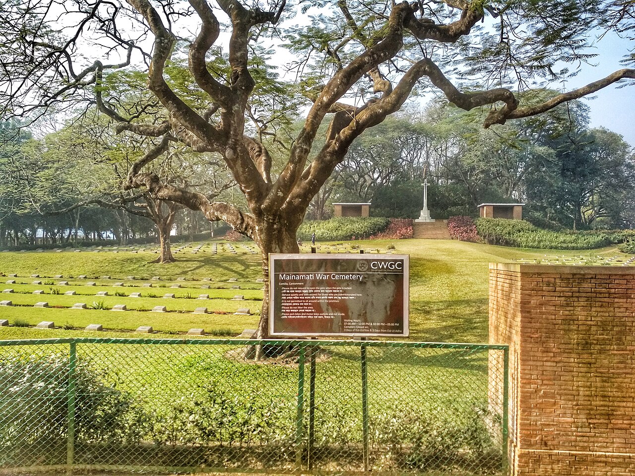
Mainamati War Cemetery, Comilla, Bangladesh
Mainamati War Cemetery, Comilla 736 WWII Commonwealth graves behind immaculate lawns — Britons, Indians, Gurkhas and West Africans who died on the Burma Campaign. Photo by Shahidul Hasan Roman · CC BY-SA 4.0
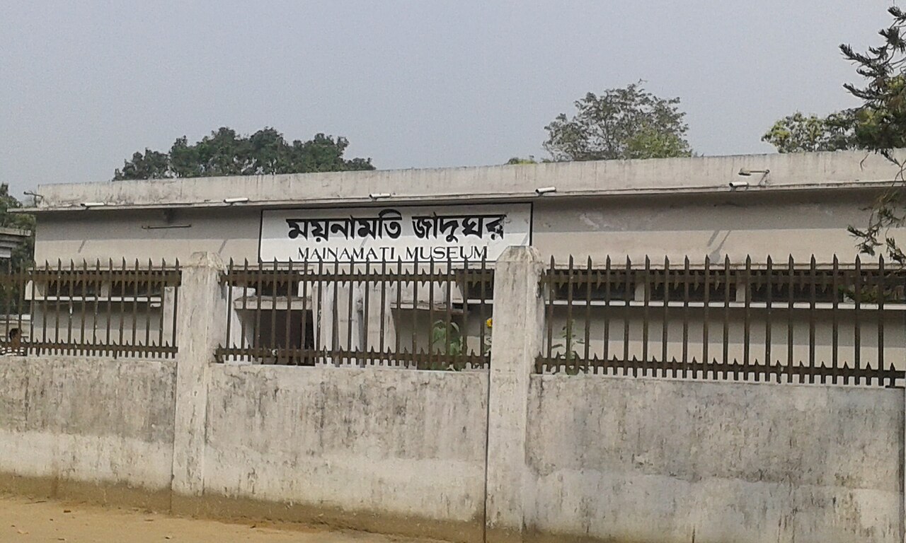
Mainamati Museum gate, Comilla, Bangladesh
Mainamati Museum, Comilla The gated entrance to Mainamati Museum — the finest collection of artefacts recovered from the surrounding Buddhist excavations. Photo by Bhfaisal427 · CC BY-SA 4.0
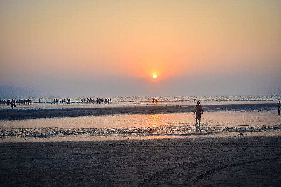
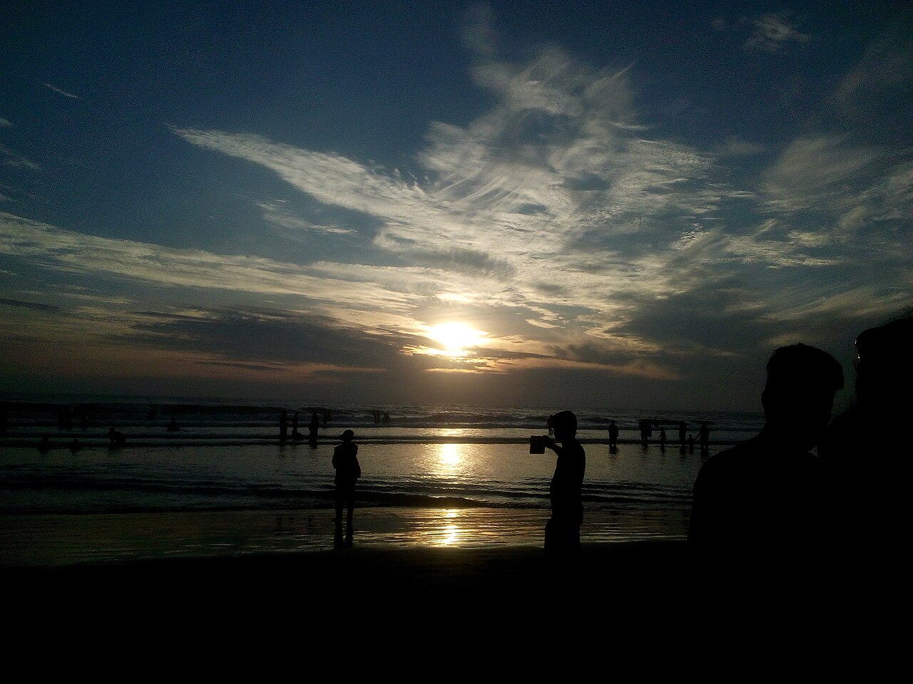
Sunrise silhouettes on Cox's Bazar beach, Bangladesh
Cox's Bazar Beach, sunrise Early risers silhouetted against a golden dawn over 120km of unbroken sand — the world's longest natural sea beach. Photo by Rrose00 · CC BY-SA 4.0
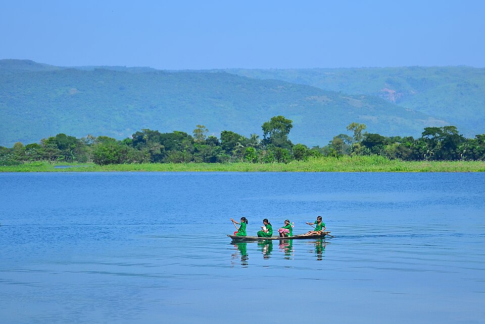
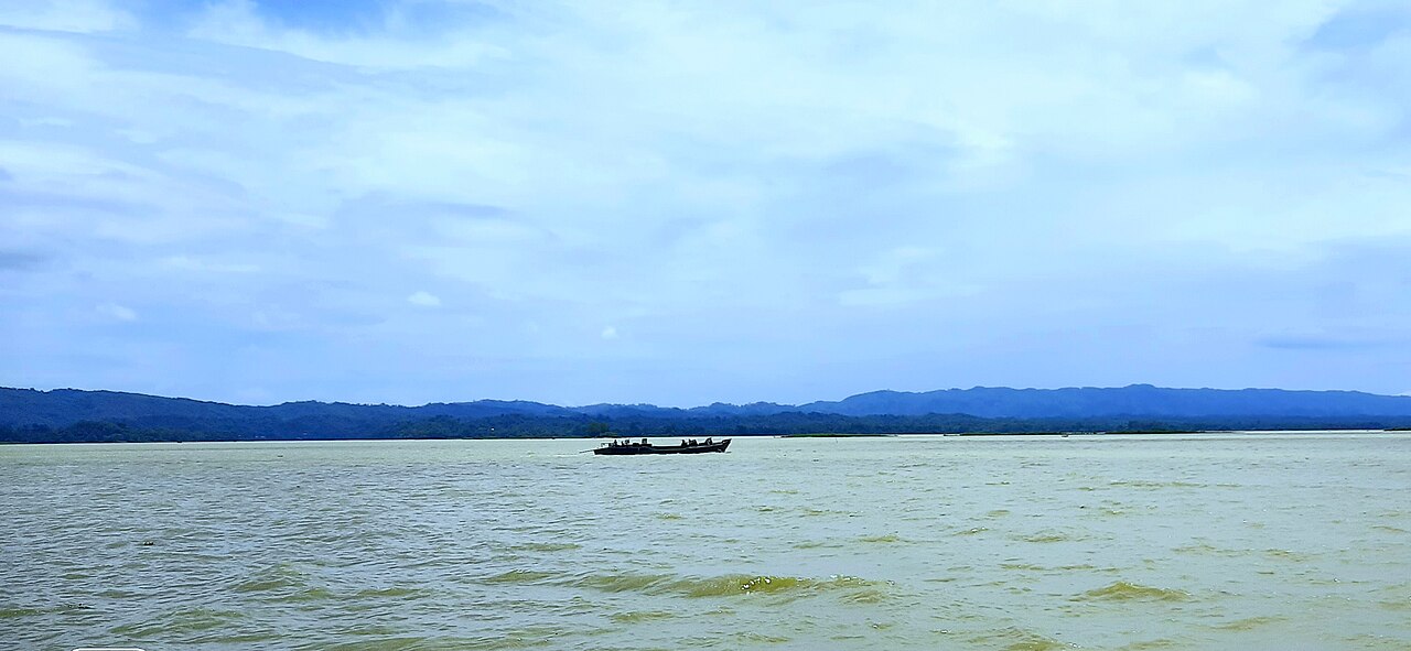
Wooden boat on Kaptai Lake, Rangamati, Bangladesh
Kaptai Lake, Rangamati A traditional wooden boat crossing Bangladesh's largest artificial lake, forested hills and Chakma stilt villages ringing the shore. Photo by ইমদাদ উল্লাহ ফিরদাউস · CC BY-SA 4.0
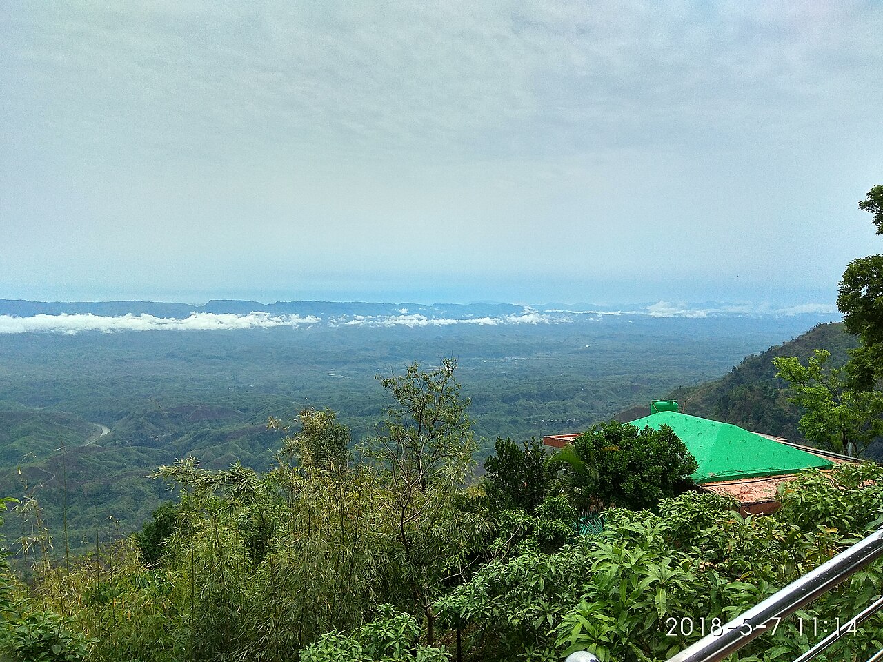
A hill resort above the clouds at Nilgiri, Bandarban, Bangladesh
Nilgiri, Bandarban At 1,600m, Nilgiri floats above a sea of cloud at sunrise — one of the highest, most remote viewpoints in the Chittagong Hill Tracts. Photo by Shaon27 · CC BY-SA 4.0
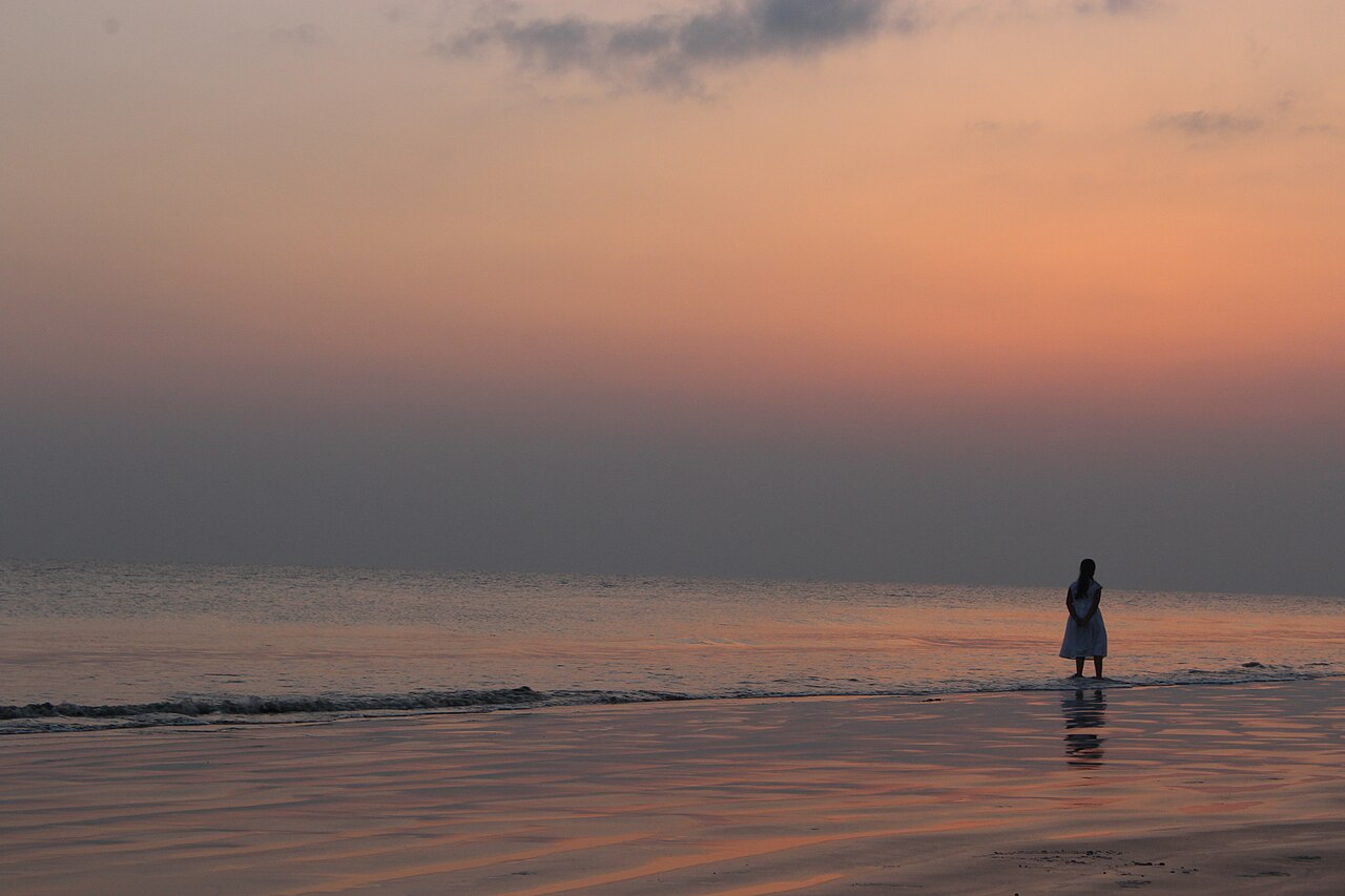
Silhouette at sunset on Kuakata beach, Bangladesh
Kuakata Beach, sunset A lone figure on the sand as the sun sets into the Bay of Bengal — the "Sagar Kannya," the only beach in Bangladesh with sea views both ways. Photo by Hasibul Hasan Rabbi · CC BY-SA 4.0
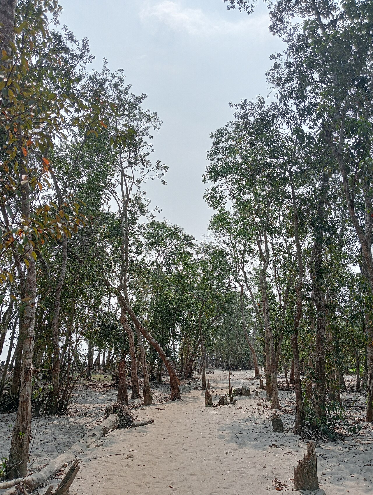
Sandy path through coastal forest, Gangamati, Kuakata, Bangladesh
Gangamati Forest Reserve, Kuakata A quiet sandy trail through the coastal forest belt behind Kuakata's dunes — shaded walking and the distant crash of surf. Photo by Mahjuja Islam · CC BY-SA 4.0
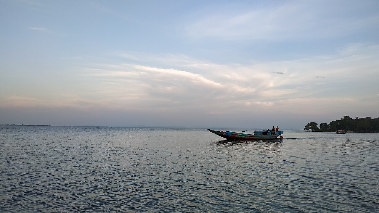
Boat at dusk on Hakaluki Haor, Sylhet, Bangladesh
Hakaluki Haor, Sylhet A boat crossing South Asia's largest wetland at dusk — a vast shallow lake in monsoon, a mosaic of rice and water each winter. Photo by Khowshik Bhowmik · CC BY-SA 4.0
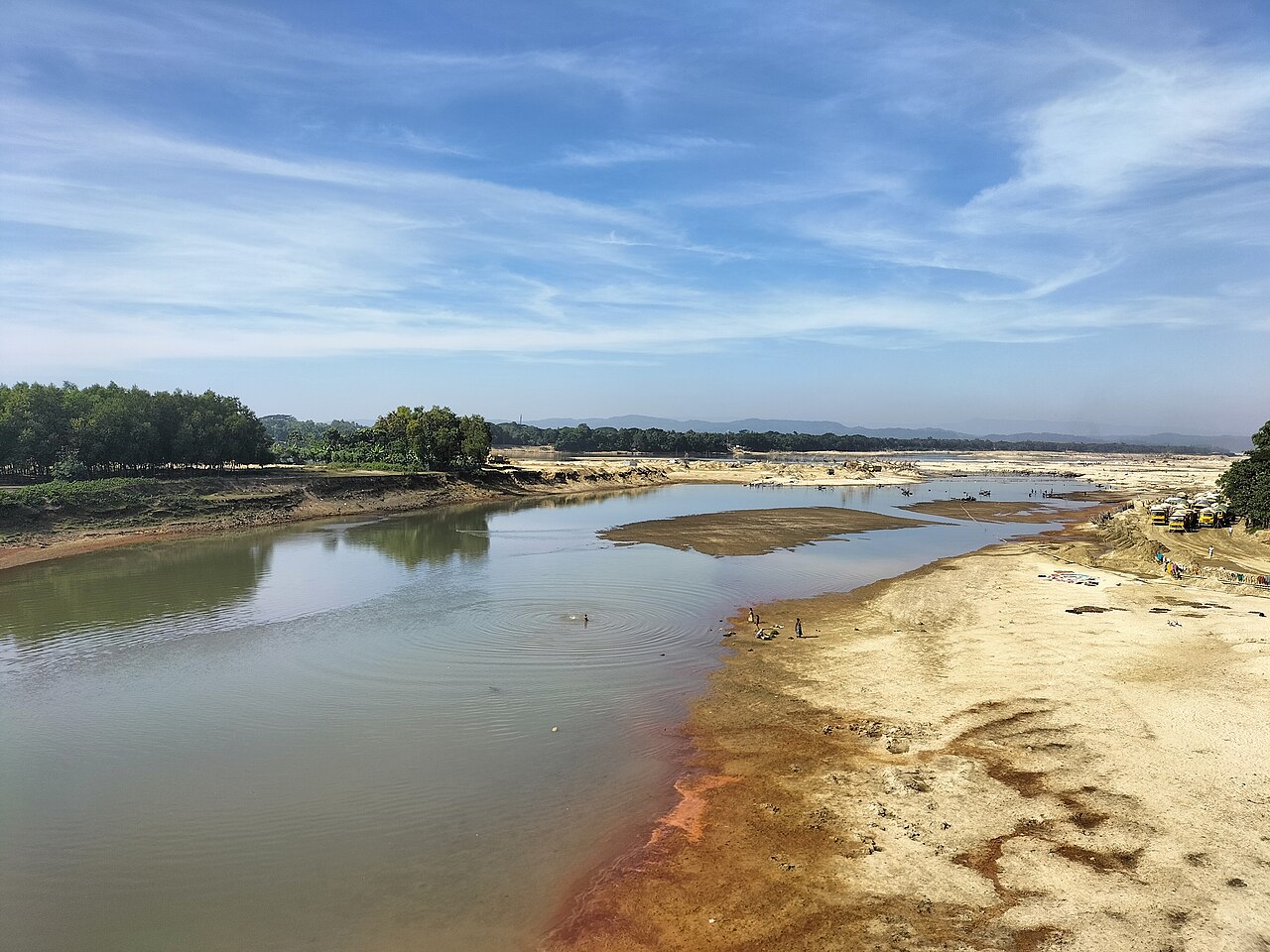
Someshwari River near Durgapur, Netrokona, Bangladesh
Someshwari River, Netrokona The shallow, fast-flowing Someshwari emerging from the Meghalaya hills — clear water over a sandy bed near Durgapur. Photo by কুপি বাতি · CC BY-SA 4.0

Ready to go?

See it for yourself

Use the planner to build a costed, day-by-day trip to the places in this gallery.