 The Bangladesh Trip
Credits
With thanks to these photographers
The photography on this site is used with permission or under a licence that allows it. Here's each image, the place it shows, and the person who made it — with a link to their work. If you spot an image used incorrectly, please get in touch and it will be removed.
Photography
Each row below lists the image, where it was taken, who made it, a link to their work, and the licence under which it is used. All images are used under Creative Commons licences that permit commercial use with attribution. If you spot an error please get in touch and it will be corrected promptly.
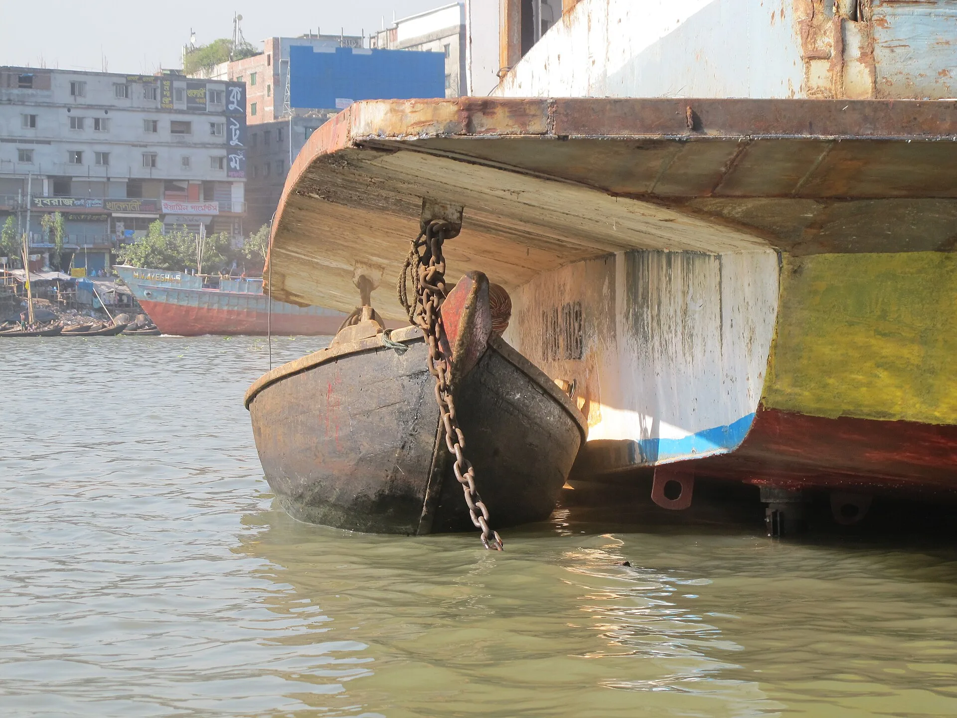
Buriganga River, Dhaka
Wooden boats and river traffic on the Buriganga — the lifeline of Old Dhaka. Used as the site's opening hero image.

Wikimedia Commons contributor documenting everyday life across South Asia.

Ahsan Manzil (Pink Palace), Old Dhaka
The iconic Ahsan Manzil, former residence of the Nawabs of Dhaka, on the north bank of the Buriganga.

Bangladeshi photographer and Wikimedia contributor based in Dhaka.

Sundarbans National Park
A Royal Bengal Tiger walking along a mangrove island in the Sundarbans — the world's largest mangrove delta and one of the last strongholds of the Bengal tiger in the wild.

Wildlife photographer documenting Royal Bengal Tigers in their natural mangrove habitat.

Teknaf Beach, Cox's Bazar, Bangladesh
A traditional sampan fishing boat moored at Teknaf beach — the southern end of the world's longest natural sea beach, near the departure point for Saint Martin's Island.

Bangladeshi photographer and Wikimedia contributor documenting coastal life along Cox's Bazar.

Sreemangal, Sylhet Division, Bangladesh
Rows of tea plants stretching across the hillsides of Sreemangal — Bangladesh's tea capital, where the estates stay brilliantly green through the season.

Wikimedia Commons contributor documenting everyday life and landscapes across South Asia (also photographed the site's hero image).

Sajek Valley, Rangamati, Chittagong Hill Tracts
Cloud-wreathed ridgelines over Sajek Valley — one of the most dramatic viewpoints in Bangladesh's hill country.

Bangladeshi photographer and Wikimedia contributor documenting the Chittagong Hill Tracts.
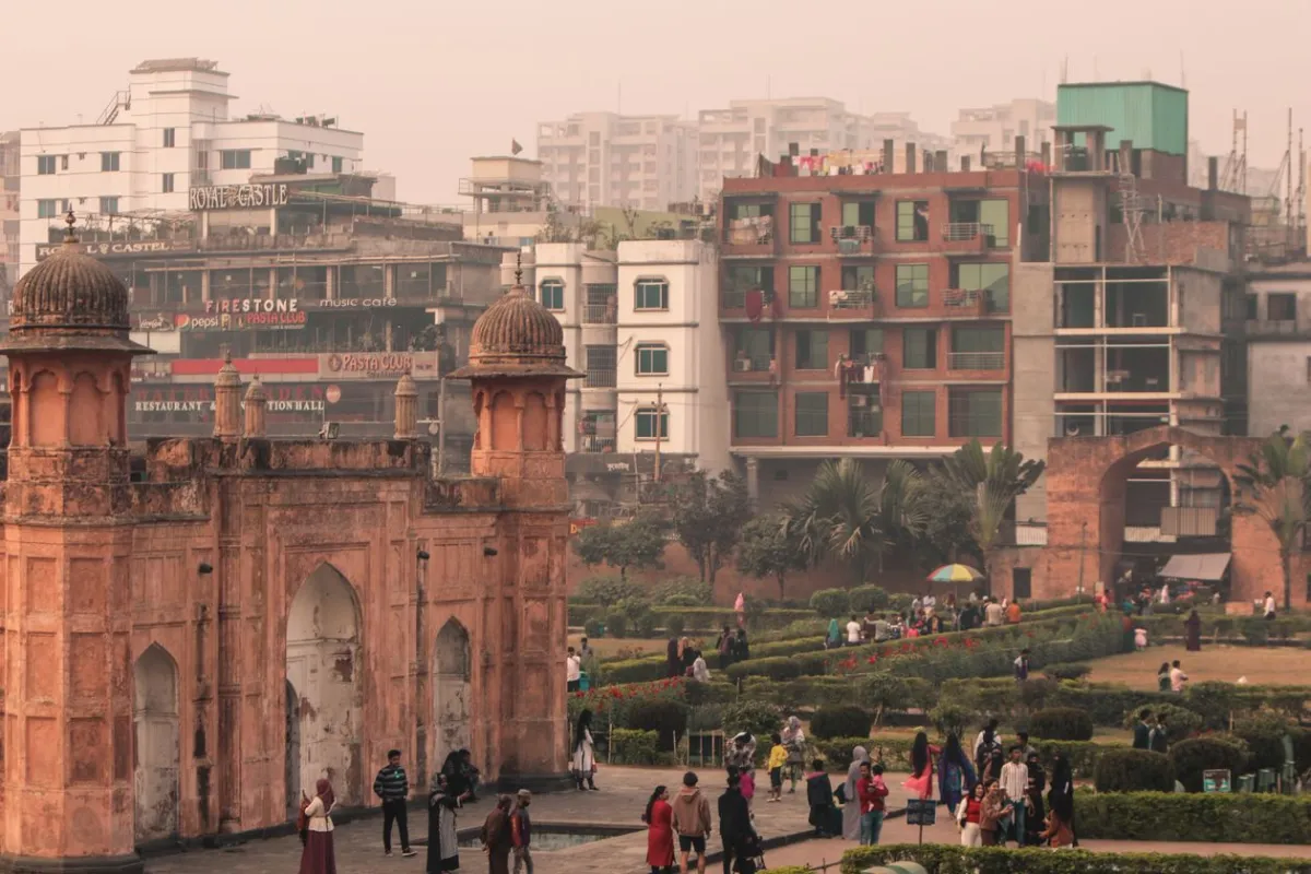
Lalbagh Fort, Old Dhaka
Historic Mughal-era fort on the banks of the Buriganga. Used as the Dhaka Gateway homepage card (dhaka-1).
Pexels Free Licence — commercial use permitted
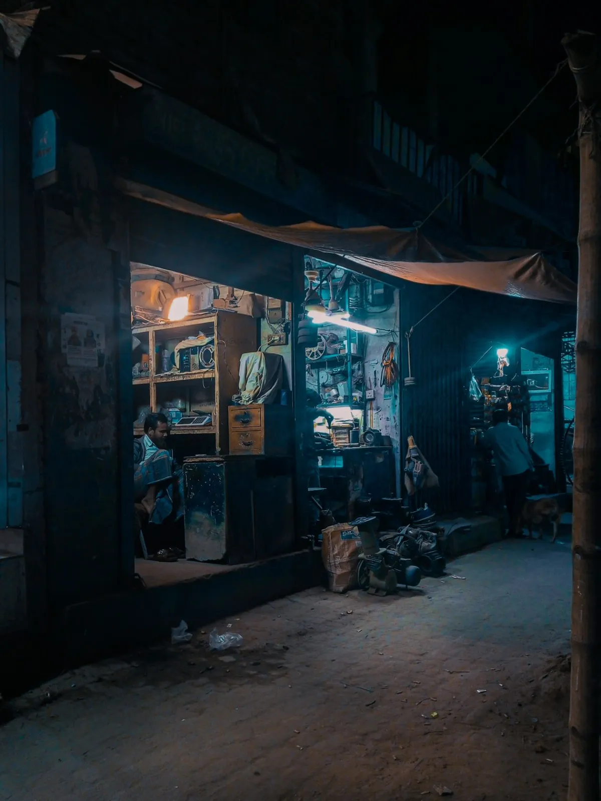
Nighttime street, Dhaka
Cinematic night scene of a Dhaka street with warm shop lighting. Used as the Dhaka Gateway region hero (dhaka-2).
Pexels Free Licence — commercial use permitted
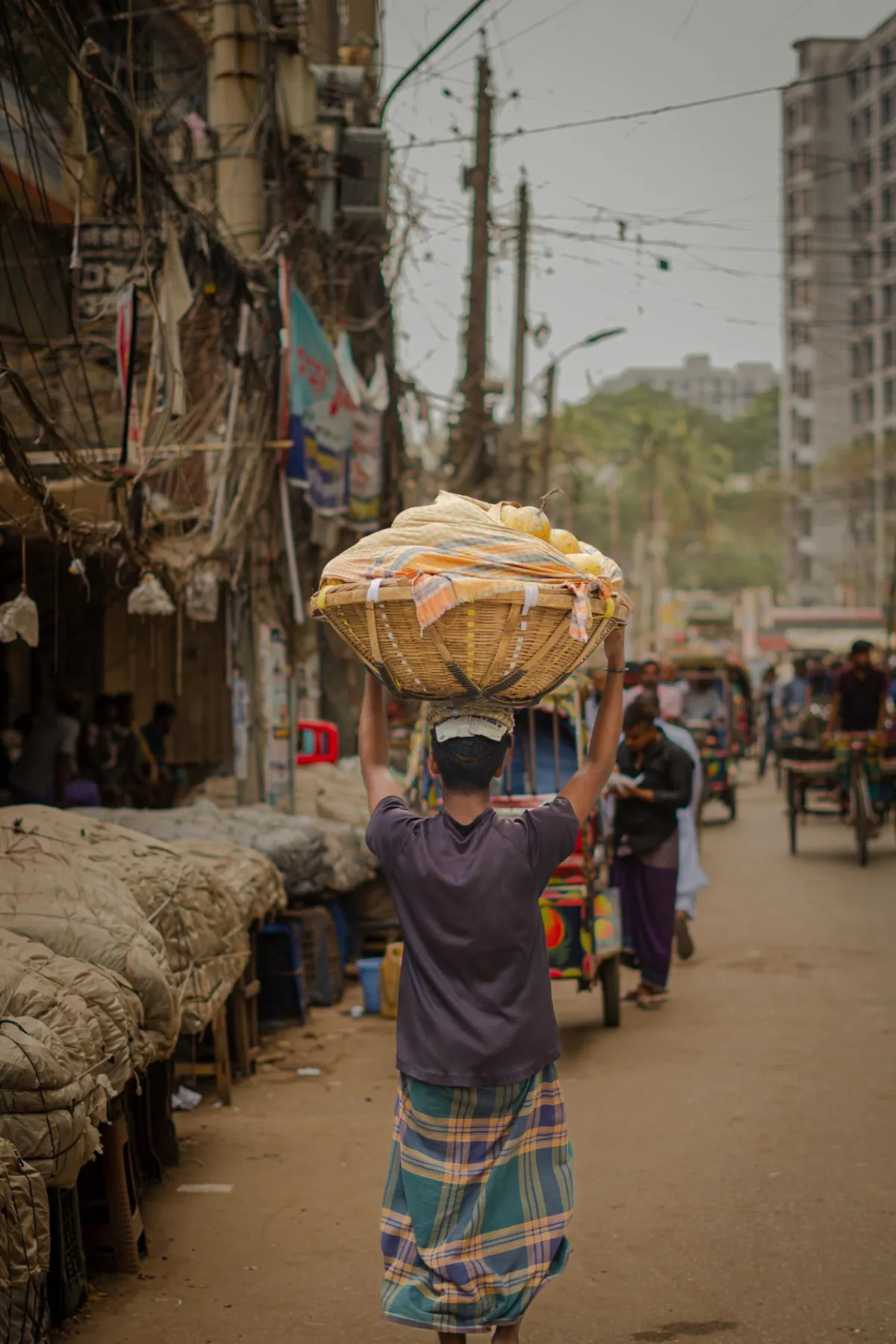
Street market, Old Dhaka
The vibrant street commerce of Old Dhaka's lanes. Used as the Dhaka Gateway inline figure.
Pexels Free Licence — commercial use permitted
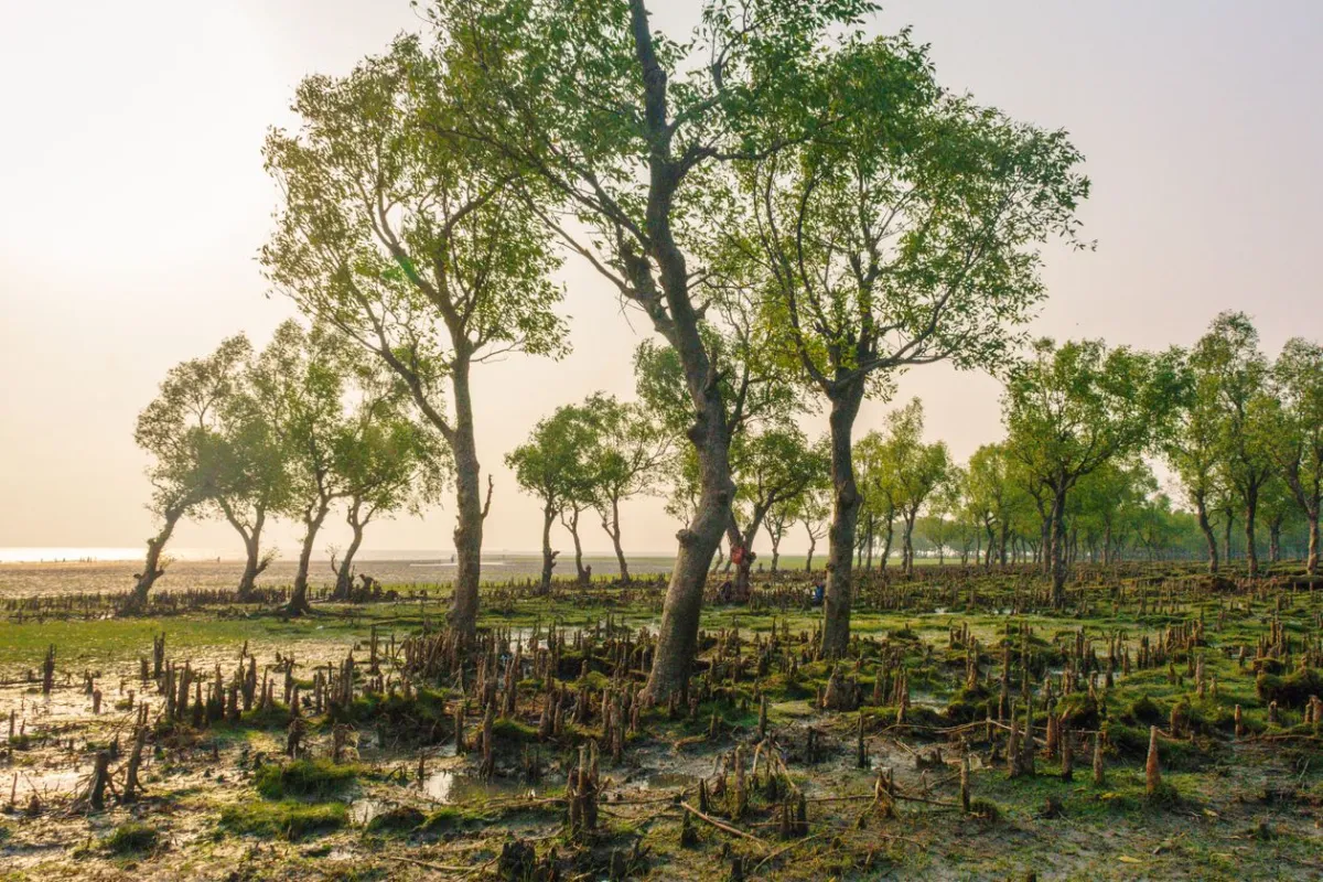
Sundarbans mangrove forest, Bangladesh
Morning light filtering through the mangrove canopy. Used as the Sundarbans homepage card image.
Pexels Free Licence — commercial use permitted
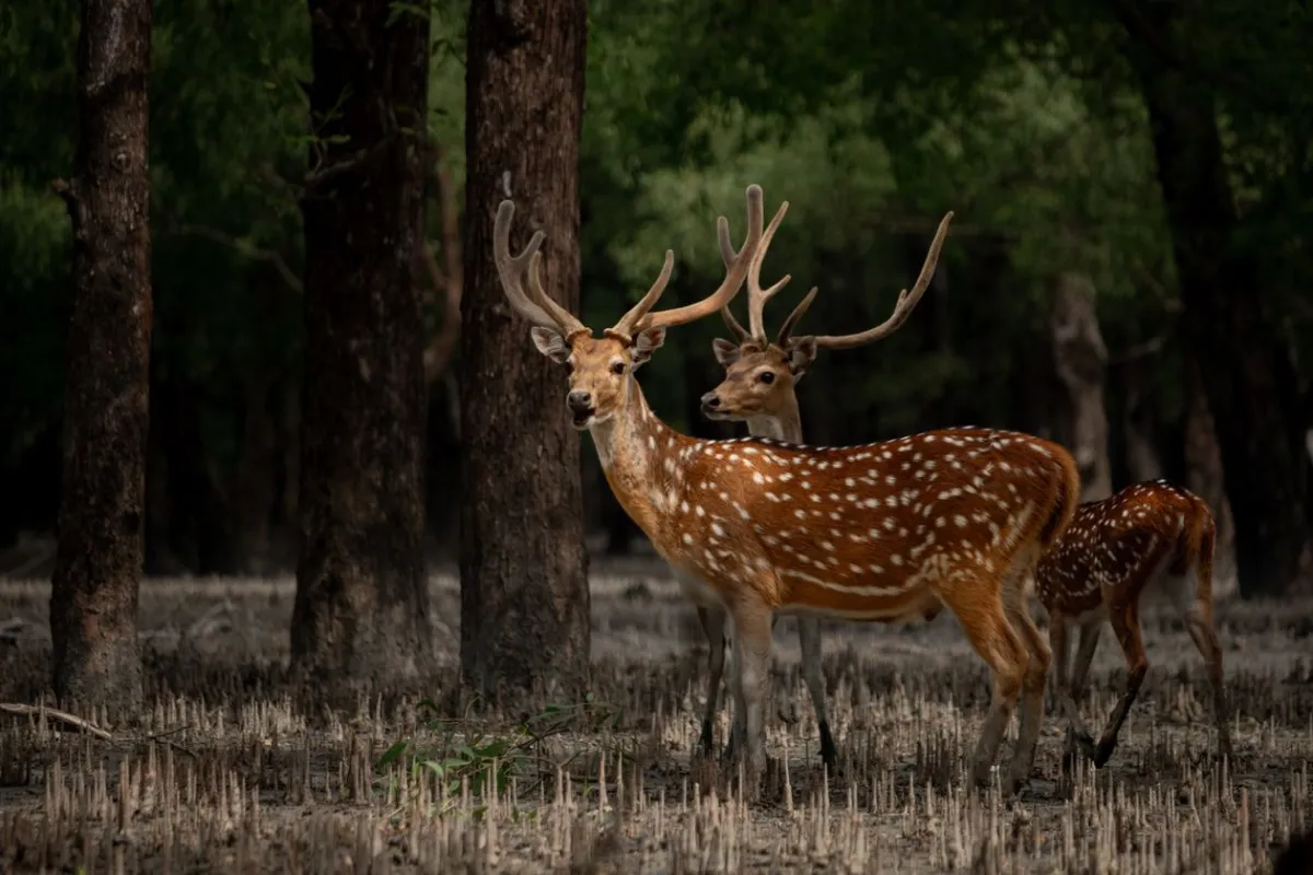
Sundarbans National Park, Bangladesh
A spotted deer among the mangrove trees — one of the most commonly sighted mammals in the Sundarbans. Used as the Sundarbans region hero image.
Pexels Free Licence — commercial use permitted
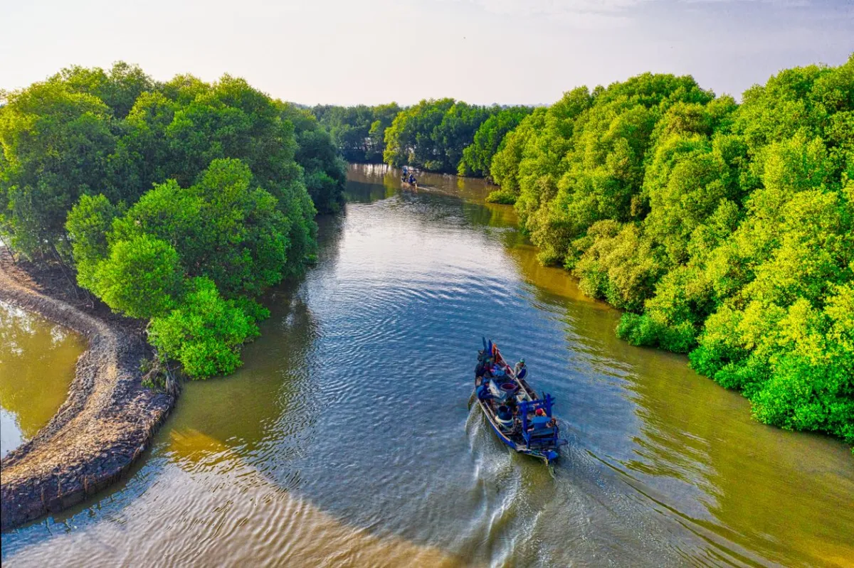
Mangrove waterways, Sundarbans
Aerial view of a vessel navigating the tidal channels of the Sundarbans. Used as the Sundarbans inline figure.
Pexels Free Licence — commercial use permitted
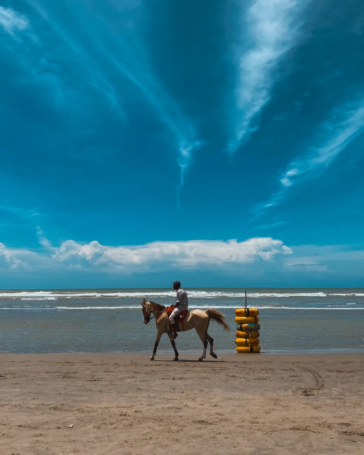
Cox's Bazar beach, Bangladesh
A horse rider galloping along the surf line of the world's longest natural sea beach. Used as the Cox's Bazar region hero image.
Pexels Free Licence — commercial use permitted
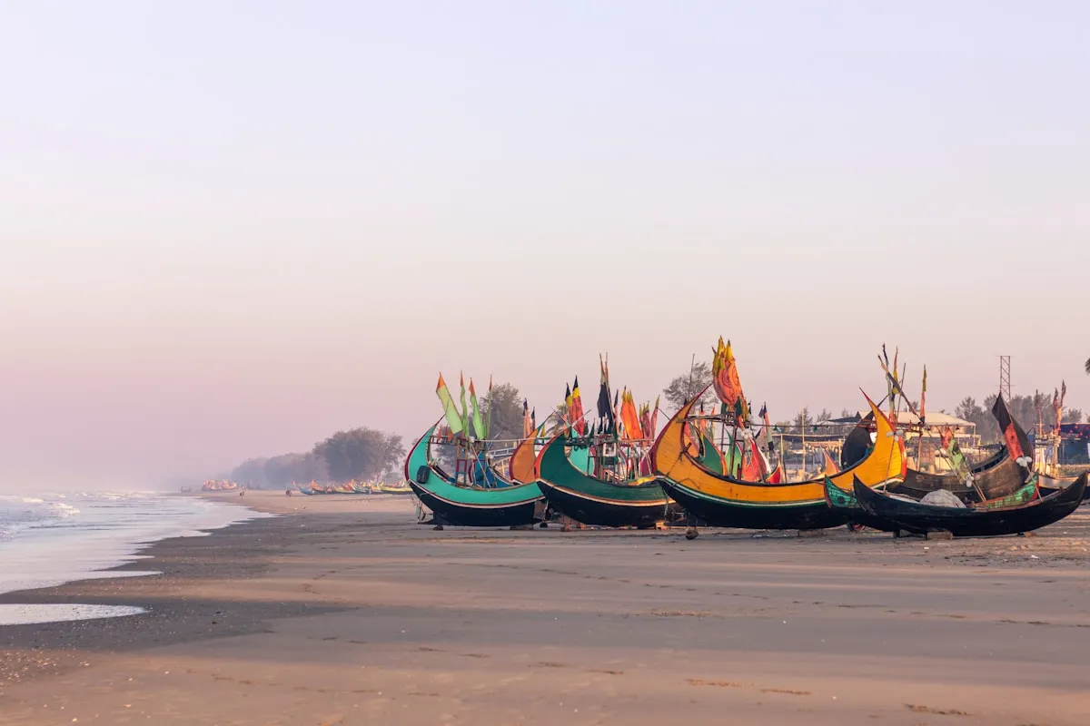
Cox's Bazar beach, Bangladesh
Fishing boats moored on the sandy shore of Cox's Bazar. Used as the Cox's Bazar inline figure.
Unsplash Licence — commercial use permitted
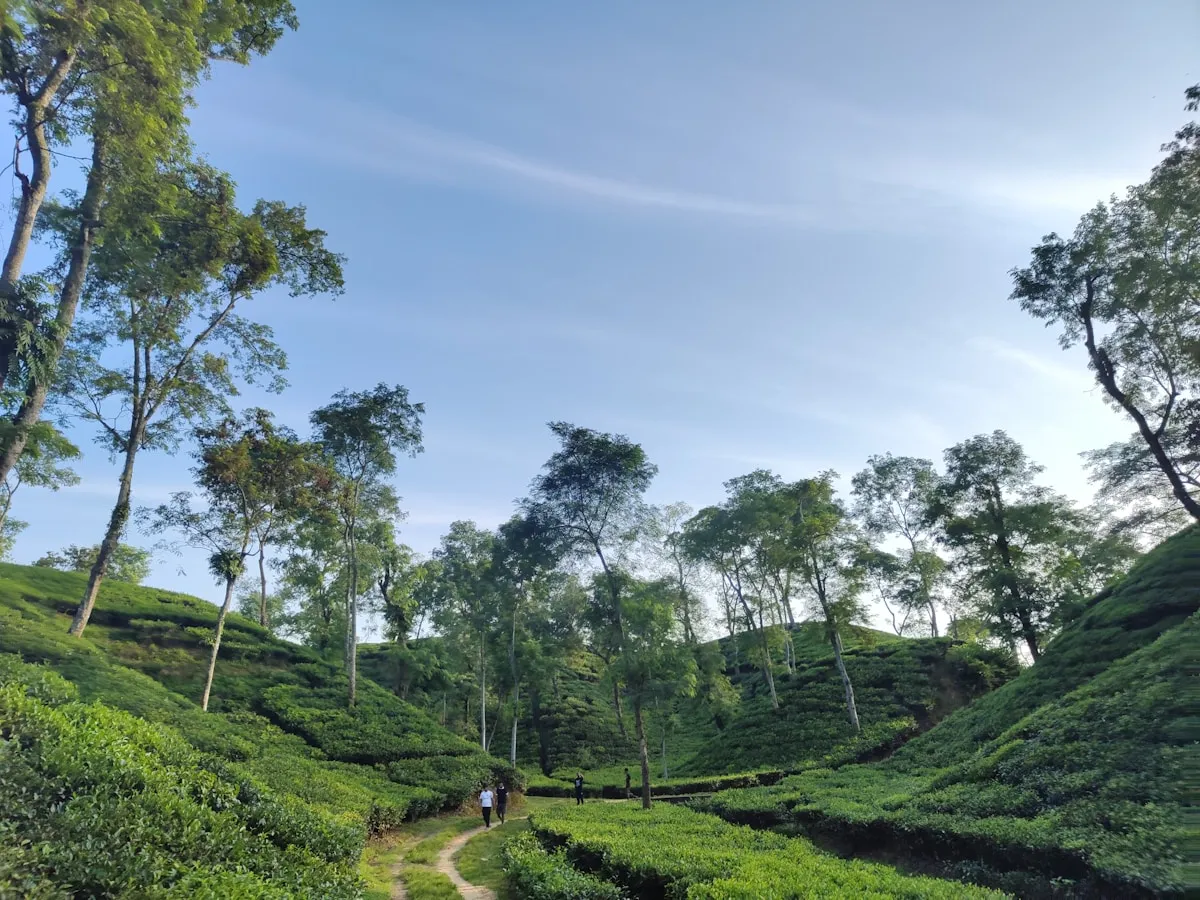
Sylhet Division, Bangladesh
The deep-green hilly landscape characteristic of Sylhet — Bangladesh's rainiest and greenest corner. Used as the Sylhet homepage card image.
Unsplash Licence — commercial use permitted
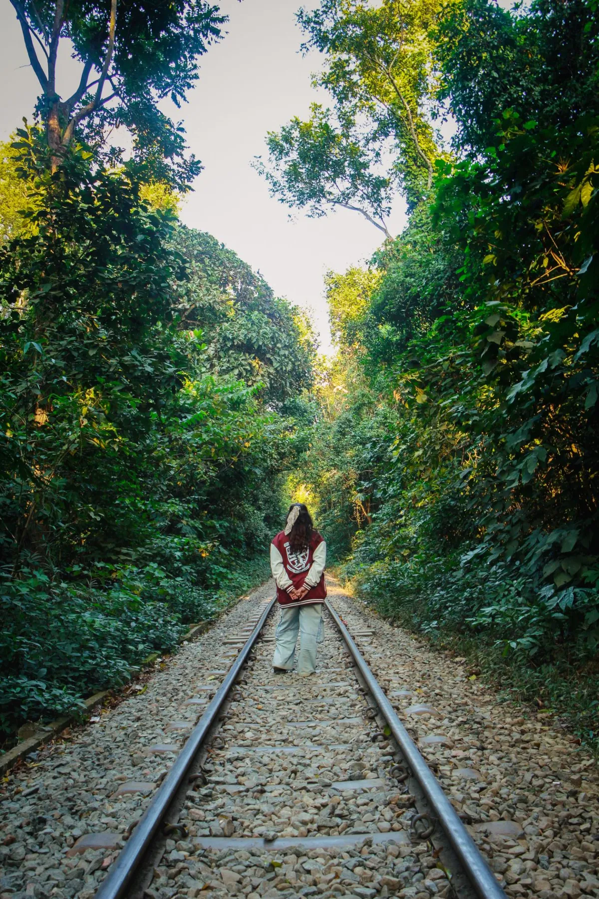
Sylhet Division, Bangladesh
A lone figure on a rail track winding through the forested hills of Sylhet. Used as the Sylhet region hero image.
Pexels Free Licence — commercial use permitted
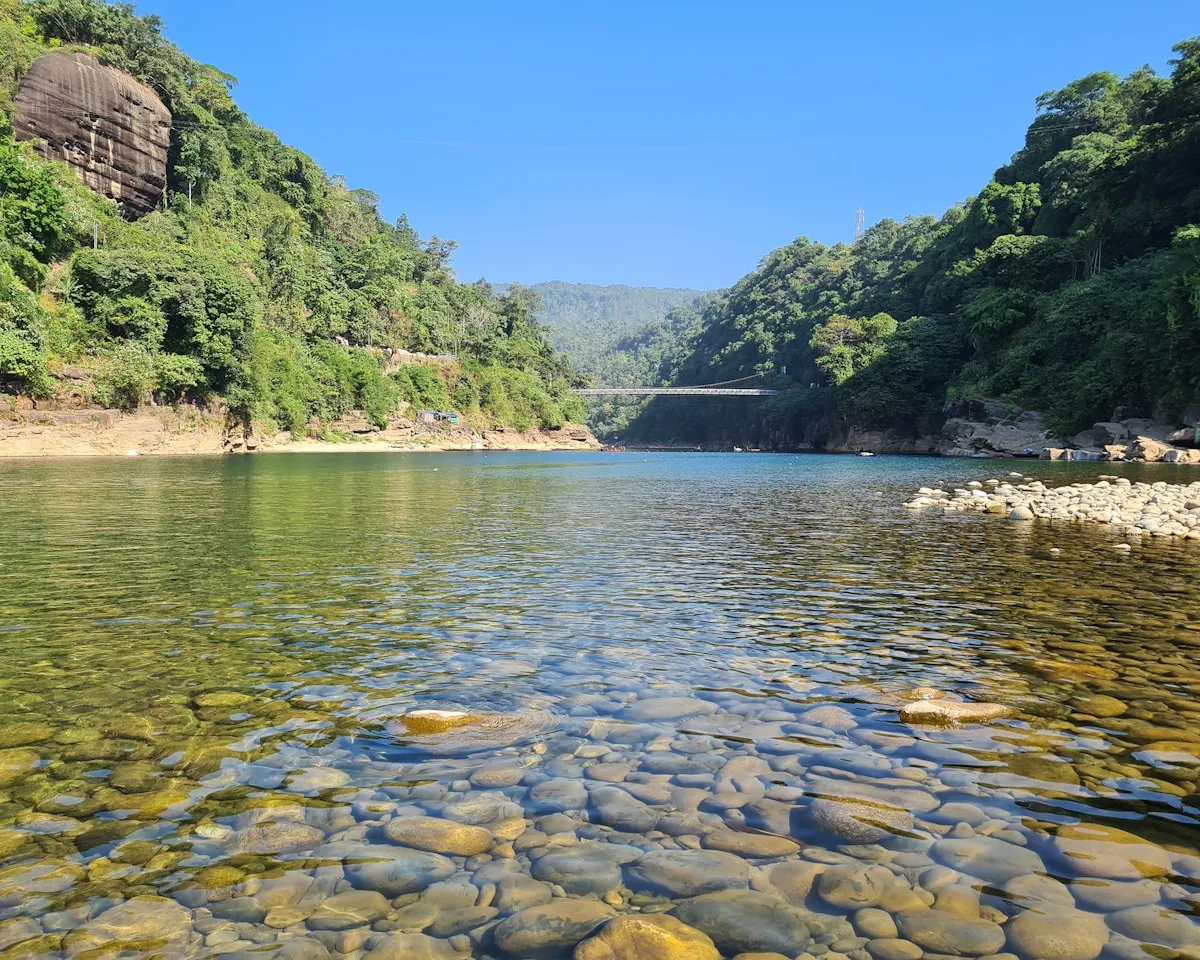
Jaflong, Sylhet Division, Bangladesh
Crystal-clear water flowing over stones at Jaflong near the Meghalaya border — one of the most scenic spots in Sylhet. Used as the Sylhet inline figure.
Unsplash Licence — commercial use permitted
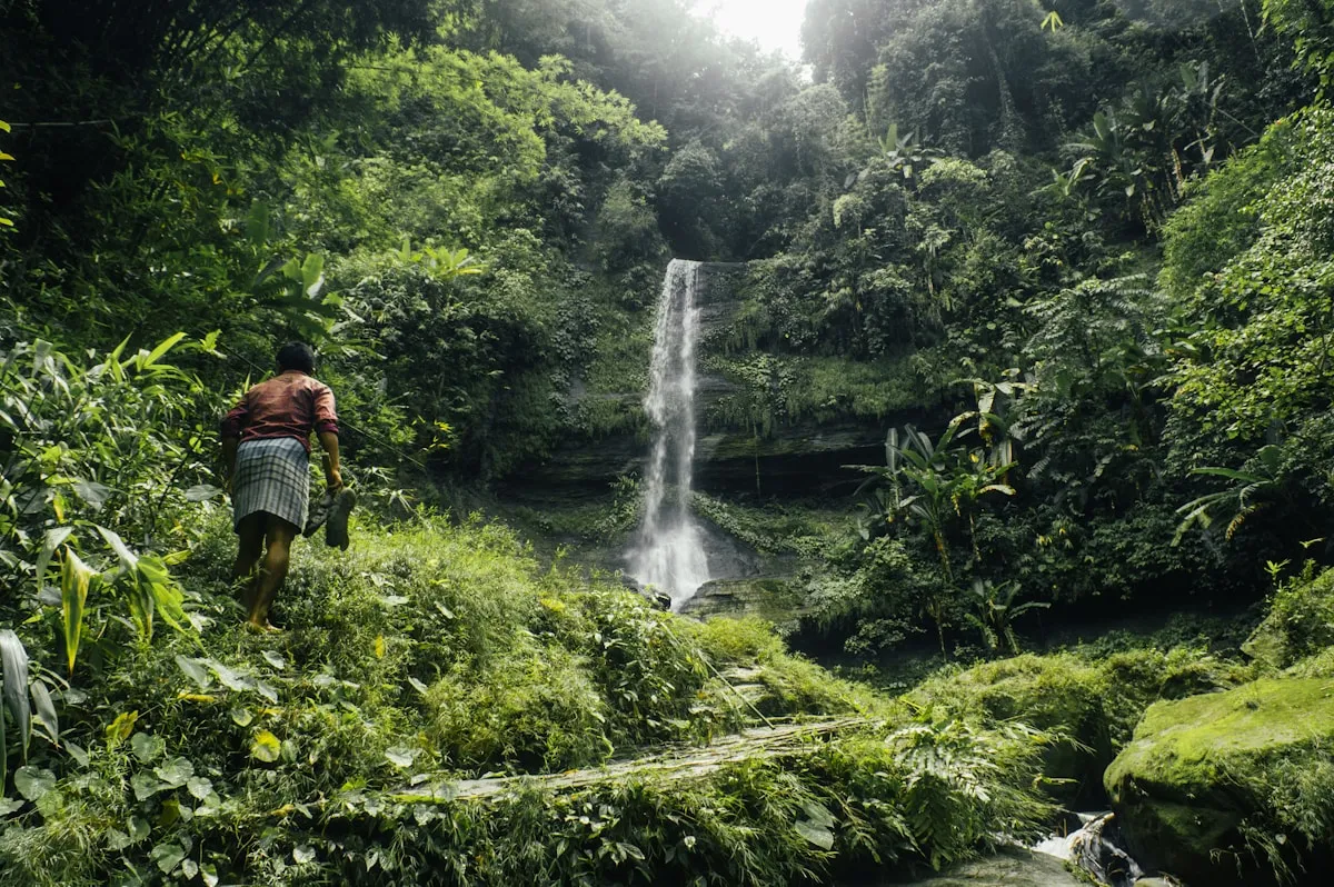
Chittagong Hill Tracts, Bangladesh
A person standing before a waterfall amid lush forested hills in the Chittagong Hill Tracts. Used as the Hill Tracts region hero and inline figure.
Unsplash Licence — commercial use permitted
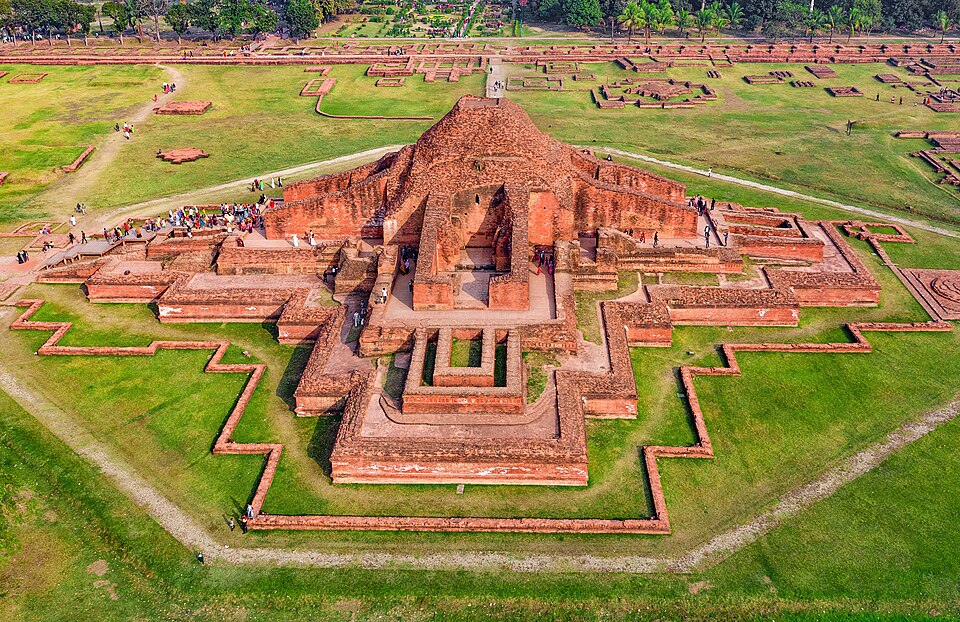
Somapura Mahavihara / Paharpur, North Bengal
Aerial view of the vast Somapura Mahavihara ruins, 8th-century UNESCO World Heritage Site. Used as the North Bengal region hero and gallery card.

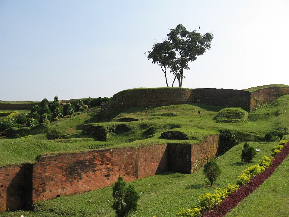
Mahasthangarh, Bogura, North Bengal
The earthen ramparts of Bangladesh's oldest known city, inhabited since at least the 3rd century BC. Used on the North Bengal region page and gallery.

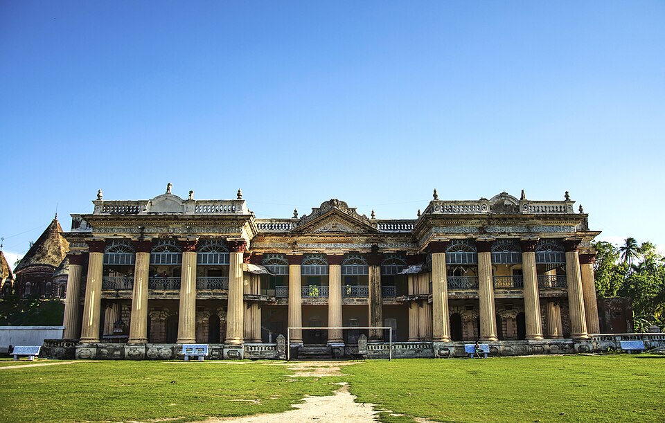
Puthia Temple Complex, Rajshahi, North Bengal
The Puthia Rajbari and adjacent temple complex — Bangladesh's largest concentration of 17th–19th century Hindu temples on a single estate.

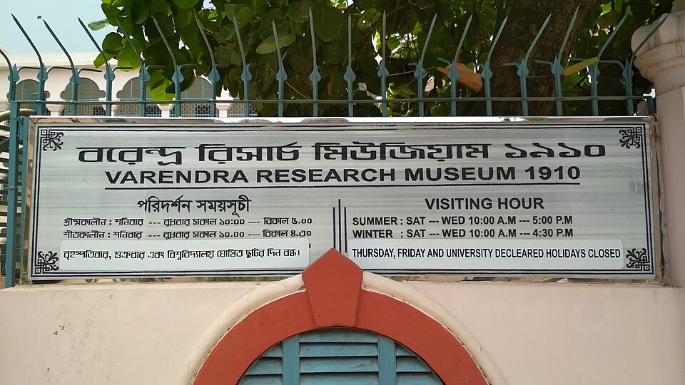
Varendra Research Museum, Rajshahi
Bangladesh's oldest museum (est. 1910), home to Pala-era Buddhist bronzes, Sanskrit inscriptions and terracotta artefacts from across Bengal.

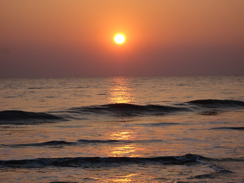
Kuakata Beach, Patuakhali
The broad, uncrowded beach at Kuakata on the Bay of Bengal — the only shore in Bangladesh from which both sunrise and sunset are visible. Used as the Kuakata region hero and gallery card.
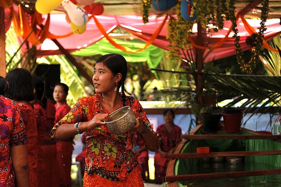
Rakhine Village, Kuakata
Rakhine (Arakanese Buddhist) community in coastal Bangladesh. Used to illustrate the Rakhine village spot at Kuakata.
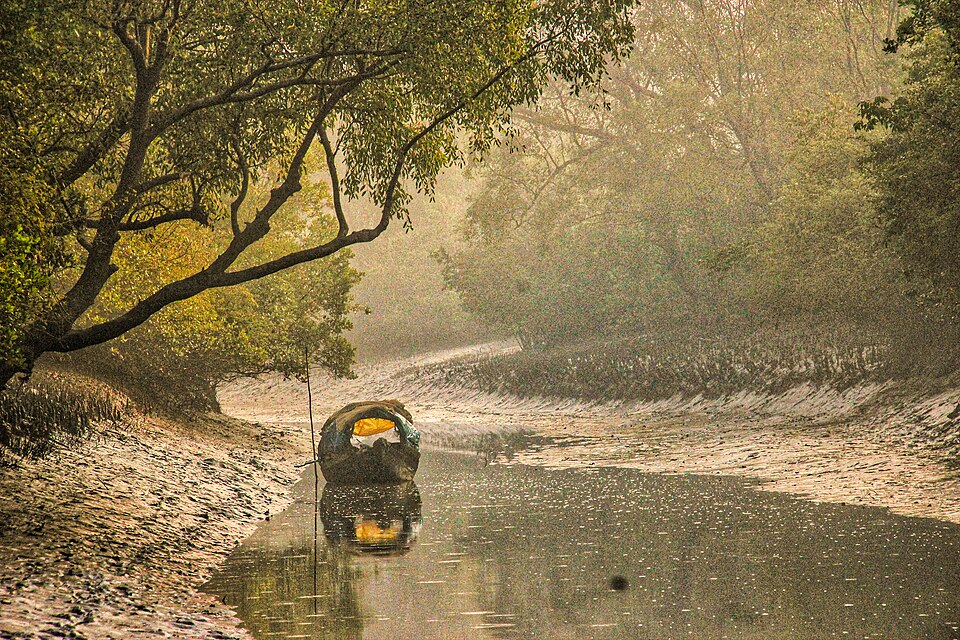
Fatrar Char mangrove, Kuakata
Dense coastal mangrove forest, representational image from the Sundarbans. Used to illustrate Fatrar Char boat excursion at Kuakata.
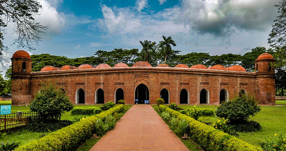
Sixty Dome Mosque, Bagerhat
The 15th-century Shat Gombuj Mosque — Bangladesh's finest medieval mosque and a UNESCO World Heritage Site. Used as Bagerhat region hero and gallery card.


Khan Jahan Ali Shrine, Bagerhat
Mausoleum or shrine of Khan Jahan Ali, the 15th-century saint and builder of Bagerhat's mosque city. Used on the Bagerhat region page.
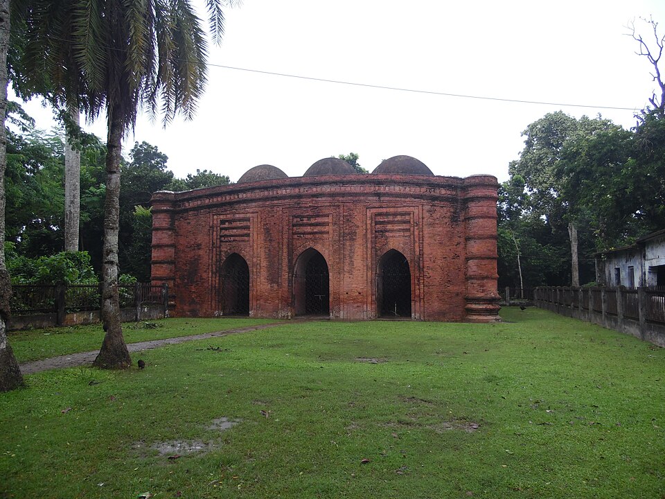
Nine Dome Mosque (Noy Gombuj), Bagerhat
A companion mosque to the Sixty Dome, also from the 15th century. Nine terracotta domes arranged in a 3×3 grid, each subtly different.
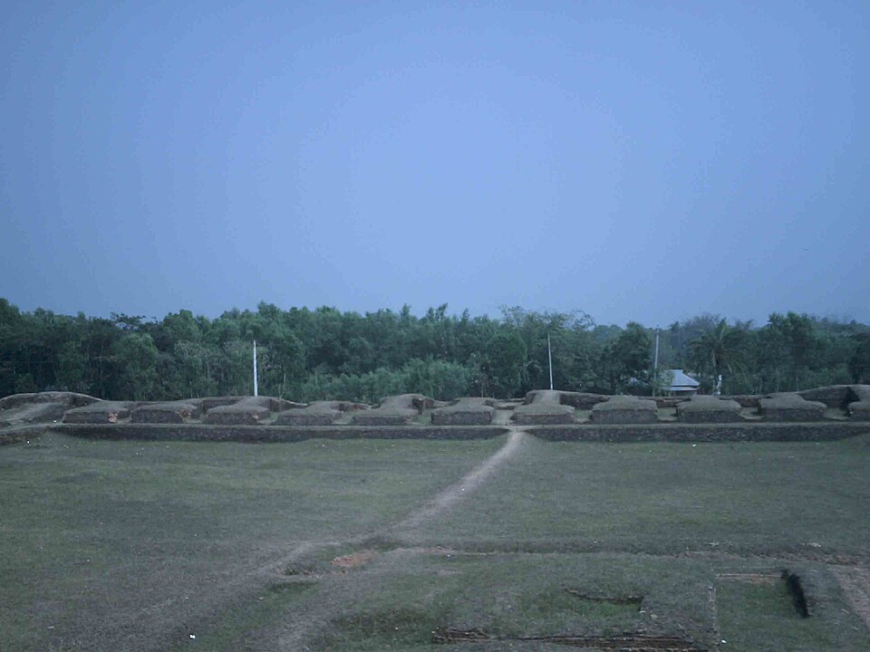
Mainamati, Comilla
The Buddhist monastic complex at Mainamati — terracotta stupas and monastery ruins spanning the 7th–12th centuries. Used as the Comilla region hero.
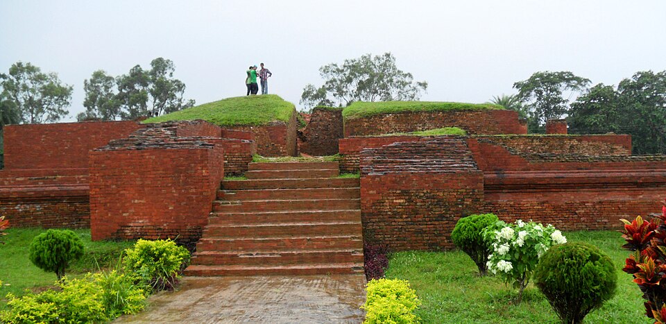
Shalban Vihara, Comilla–Mainamati
Brick monastery ruins excavated from the low Mainamati hills. 8th-century Pala-period Buddhist vihara. Used on the Comilla region page and gallery.

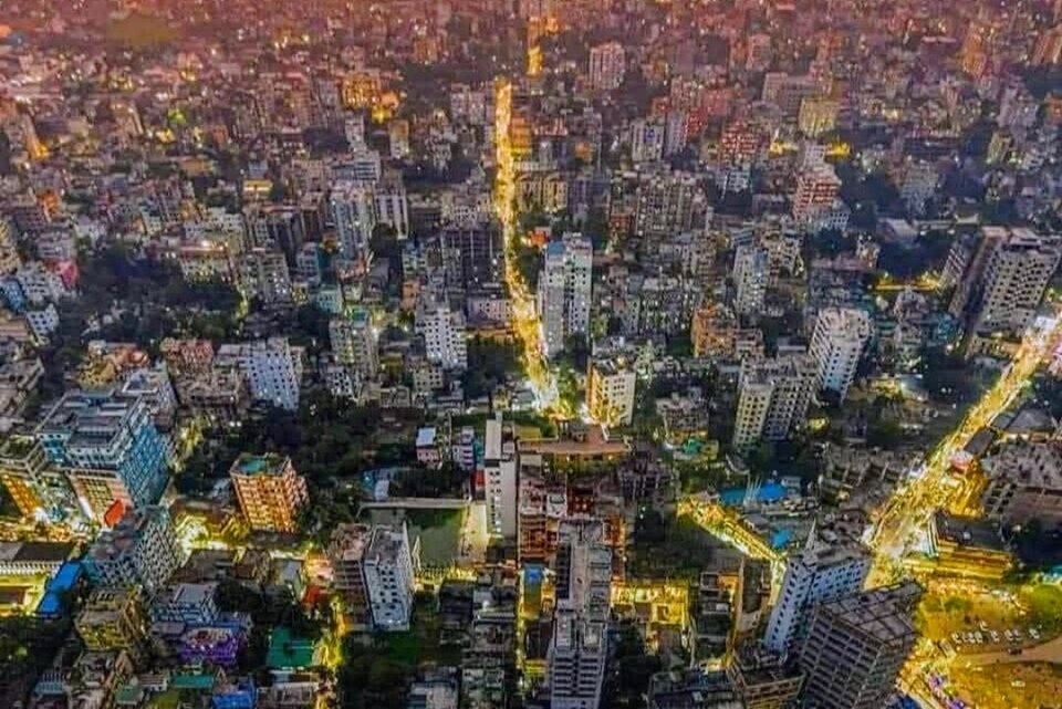
Comilla City / Dharmasagar area
The city of Comilla (Cumilla) at night. Used to represent the Comilla urban area and Dharmasagar lake in the region guide.
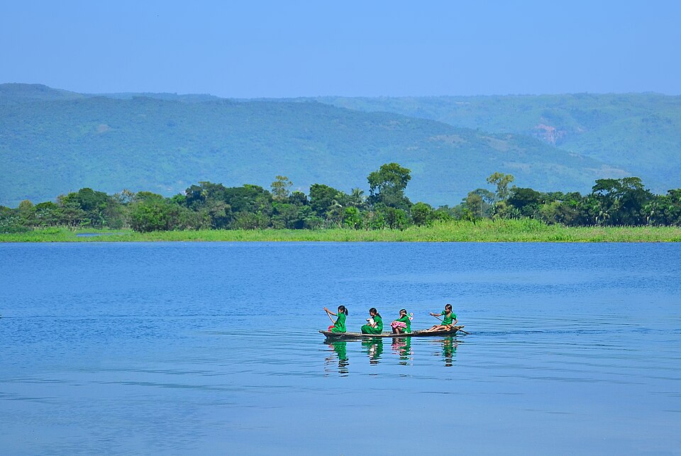
Tanguar Haor, Sunamganj
Tanguar Haor wetland — a Ramsar site and winter bird sanctuary in north-east Bangladesh.
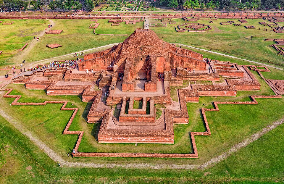
Somapura Mahavihara, Paharpur
Aerial view of the great Buddhist monastery ruins at Paharpur, North Bengal — UNESCO World Heritage Site.
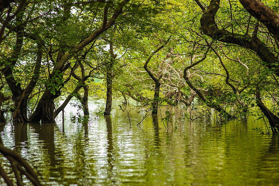
Ratargul Swamp Forest, Sylhet
The flooded trees of Ratargul — Bangladesh's only freshwater swamp forest in Sylhet division.
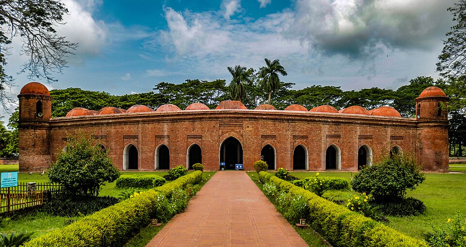
Sixty Dome Mosque, Bagerhat
Exterior view of the Sixty Dome Mosque — the largest mosque in Bangladesh, 15th-century Sultanate architecture.
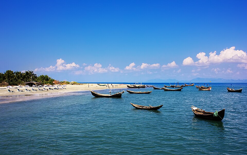
Saint Martin's Island, Cox's Bazar
Fishing boats in clear turquoise water at Saint Martin's Island — Bangladesh's only coral island.
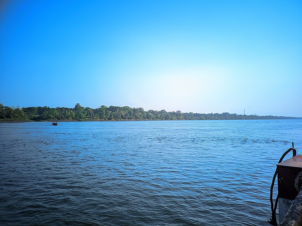
Kaptai Lake, Rangamati
The reservoir of the Chittagong Hill Tracts at golden hour — 686 km² between forested ridgelines.
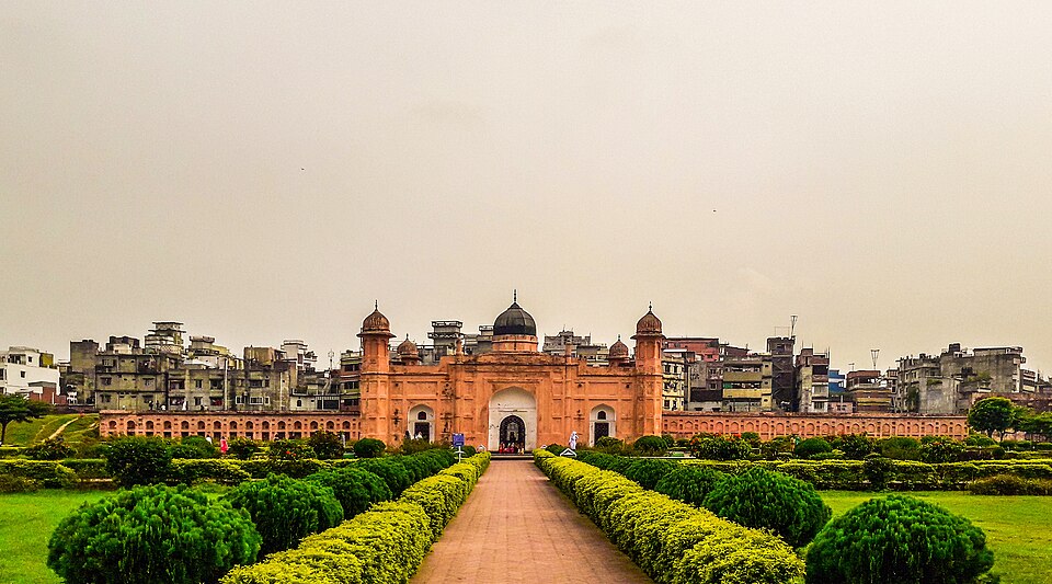
Lalbagh Fort, Old Dhaka
17th-century Mughal fortress in Old Dhaka — unfinished, but meticulously maintained.
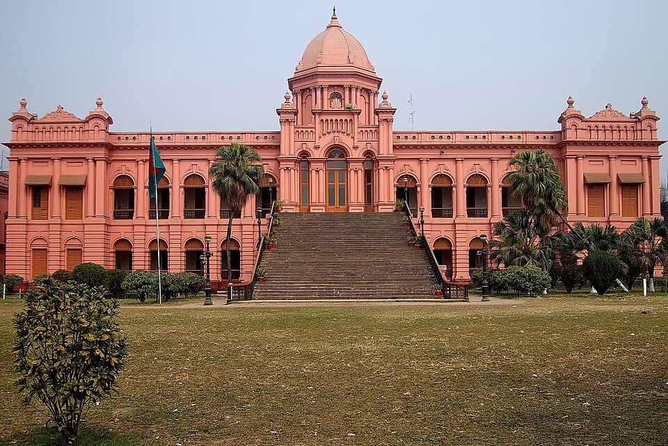
Ahsan Manzil, Old Dhaka
The Pink Palace of the Nawabs of Dhaka on the Buriganga riverfront — now a museum of 19th-century zamindari life.
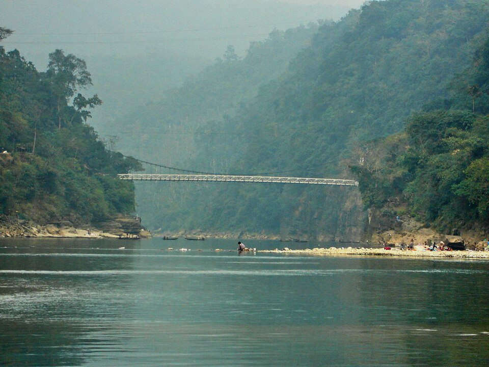
Jaflong Zero Point, Sylhet
The Piyain River at Jaflong — clear mountain water over smooth boulders at the India border, Sylhet.
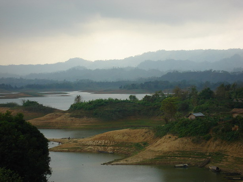
Rangamati Town, Hill Tracts
Rangamati hill town above Kaptai Lake — wooden stilted houses, the hanging bridge, and multi-ethnic market life.
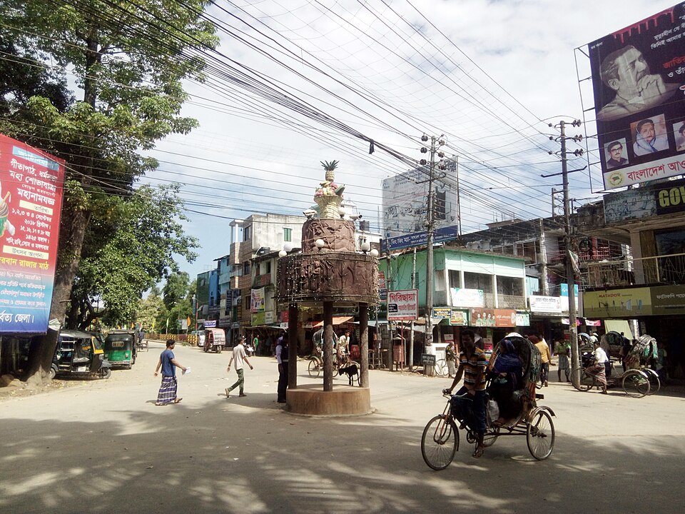
Bandarban Town, Hill Tracts
Bandarban city in the forested hills — gateway to Nilgiri, Chimbuk and the highest ridgelines in Bangladesh.
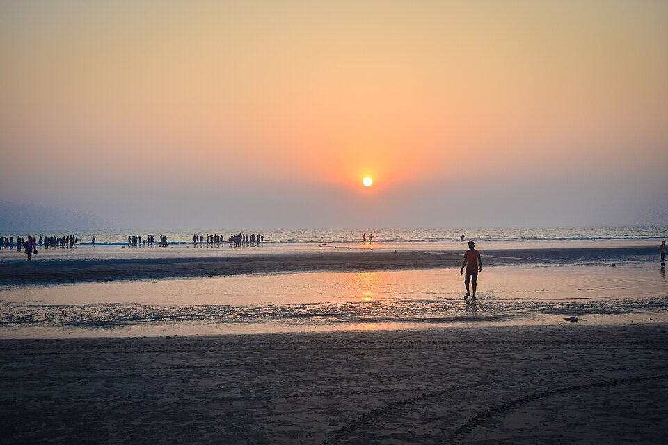
Inani Beach, Cox's Bazar
Sunset over Inani Beach's rocky coral reef foreshore — 14 km south of Cox's Bazar town, far quieter than the main strip.
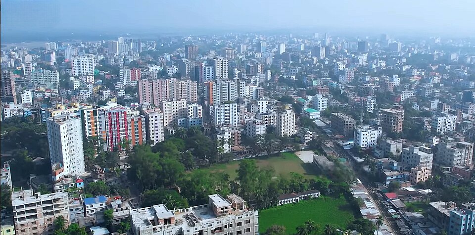
Mymensingh City
Mymensingh city skyline and riverside — the main city of north-central Bangladesh and gateway to the haor wetlands.
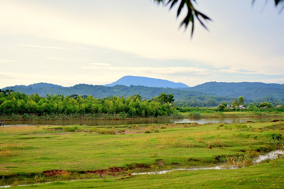
Durgapur, Netrokona
A flooded green plain with the Garo Hills of the India border rising behind — Durgapur, in the Mymensingh & Haor region, near the Birishiri china-clay hills.

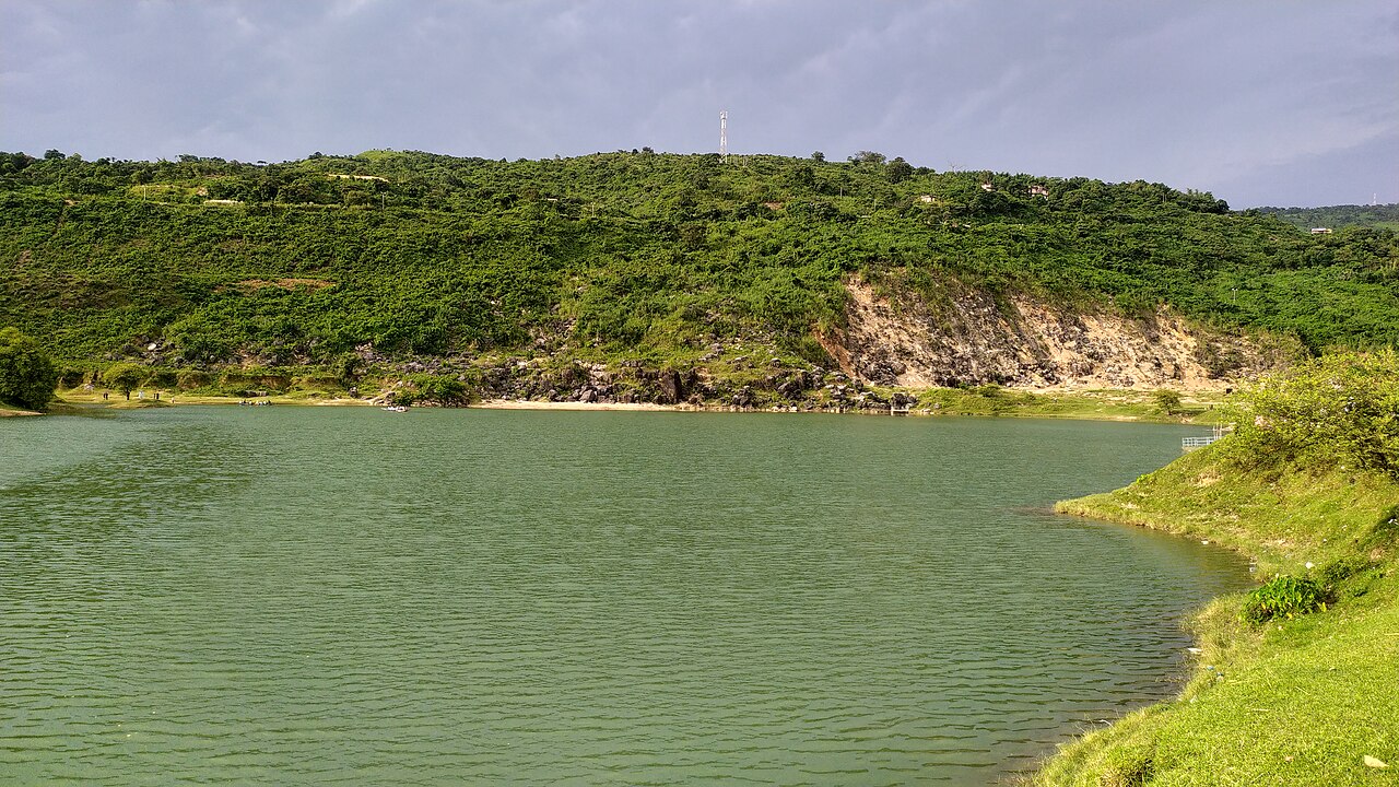
Niladri Lake, Sunamganj
A flooded former limestone quarry turned turquoise, set against the Meghalaya hills near the India border — a popular detour from Tanguar Haor.

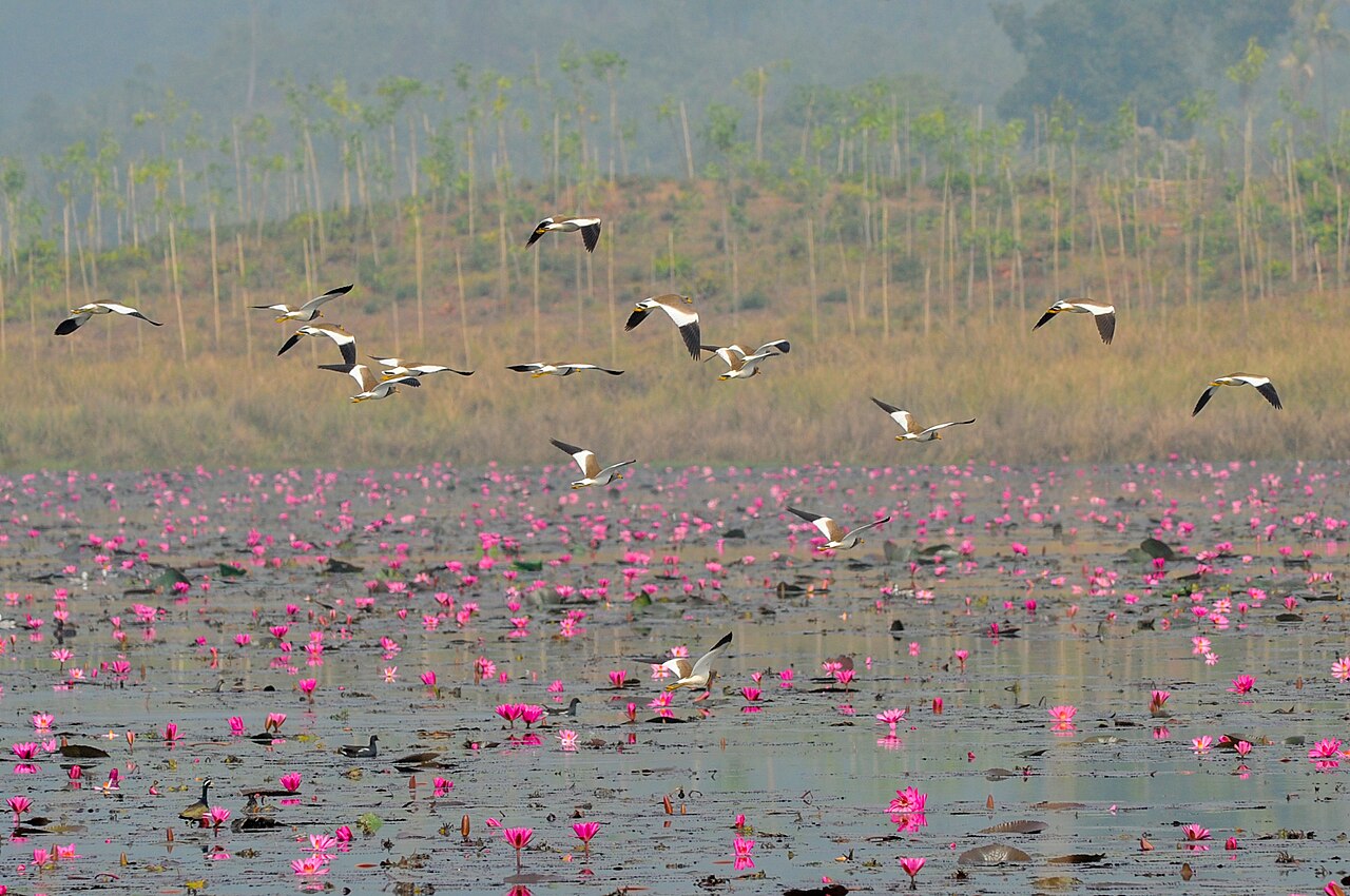
Haor wetland, near Sylhet
Migratory waterfowl over pink water lilies at Dibir Haor — the kind of scene that draws birders to Bangladesh's haor wetlands every winter.

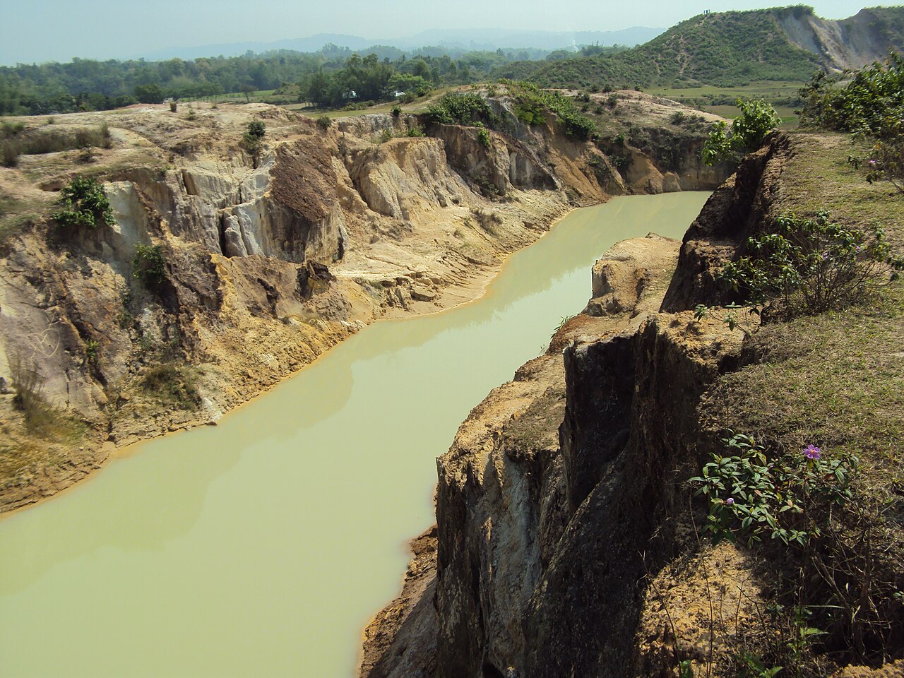
Birishiri, Netrokona
Carved white china-clay cliffs above the shallow Someshwari River — a striking, little-known landscape near Durgapur in the haor region.

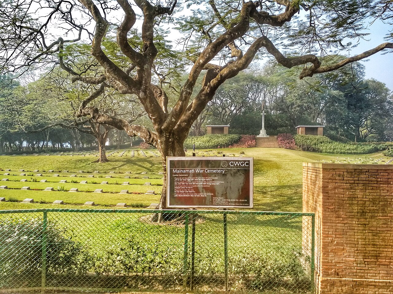
Mainamati War Cemetery, Comilla
The Commonwealth War Graves Commission cemetery for 736 WWII dead, seen through the entrance gate — immaculate lawns and a central cross of sacrifice.

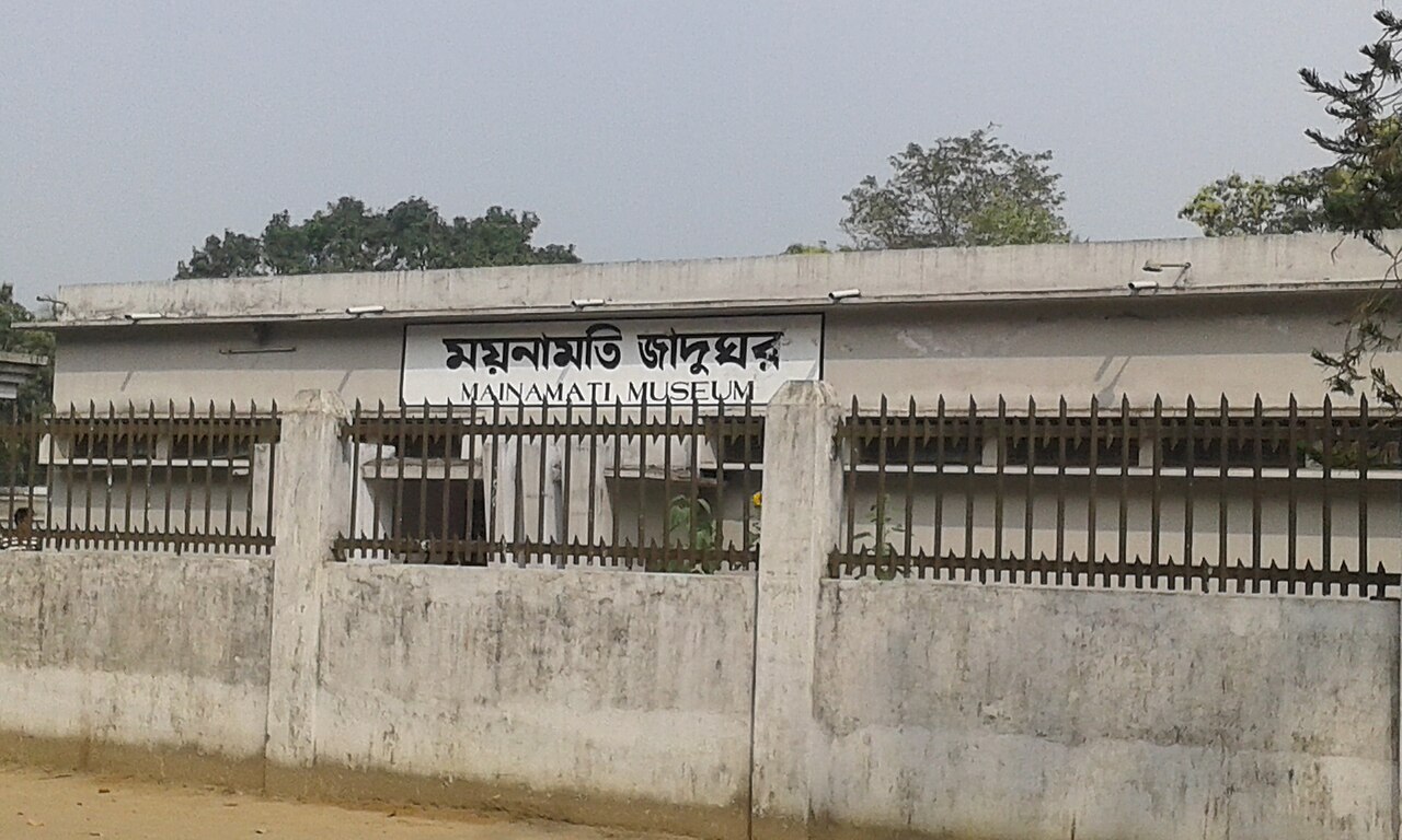
Mainamati Museum, Comilla
The gated entrance of Mainamati Museum, home to gold reliquaries, silver bowls and terracotta plaques excavated from the surrounding Buddhist ruins.

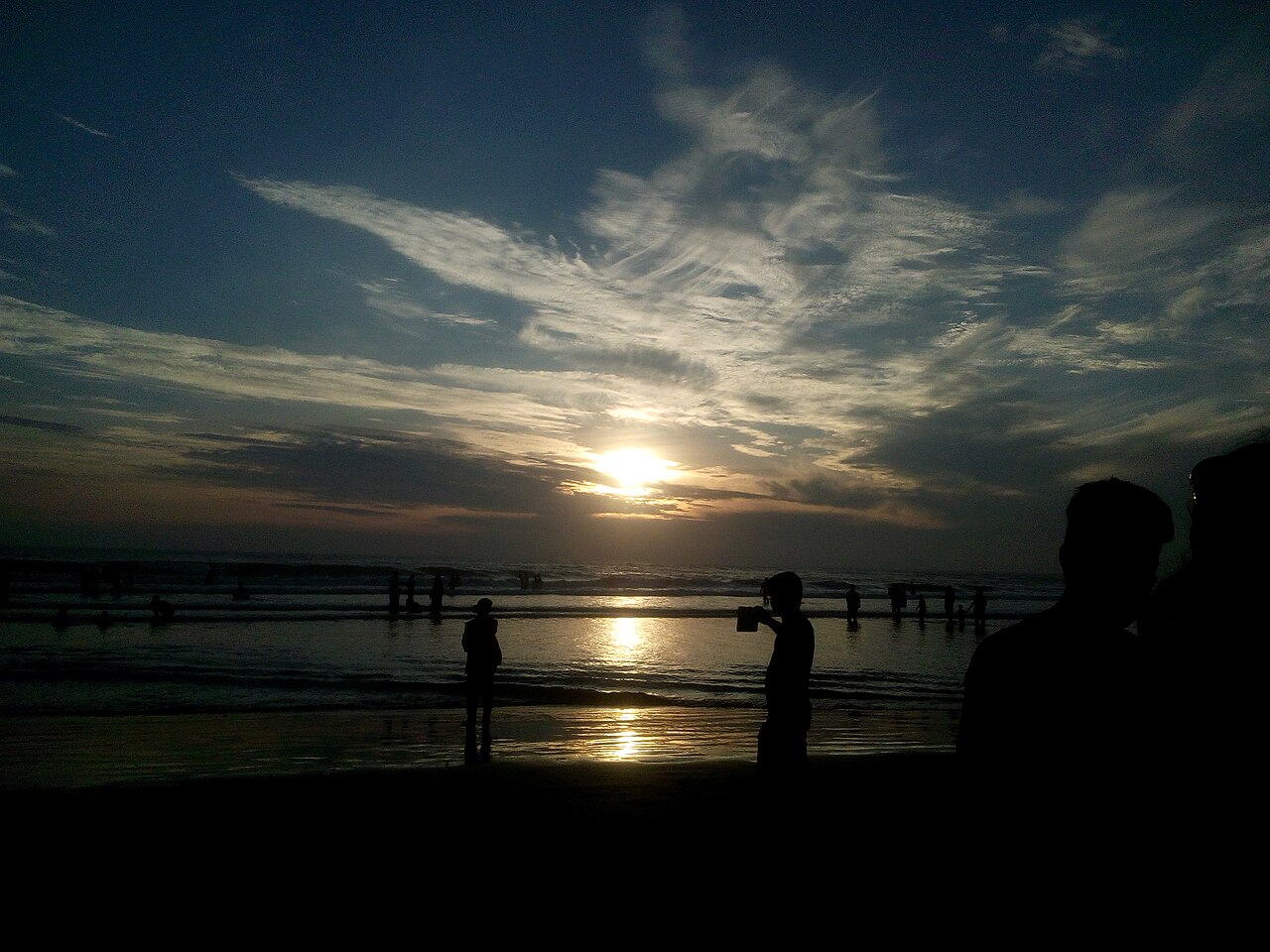
Cox's Bazar Beach, sunrise
Early risers silhouetted against a golden sunrise over the world's longest natural sea beach, before the day's crowds arrive.

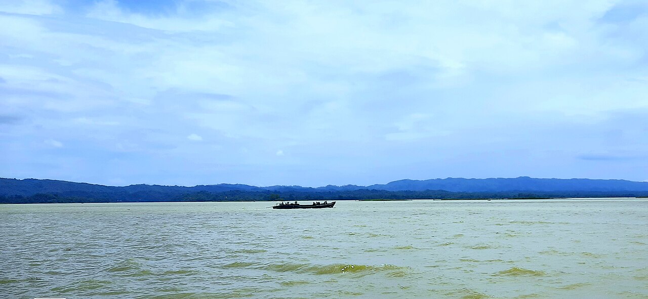
Kaptai Lake, Rangamati
A traditional wooden boat crossing Bangladesh's largest artificial lake, framed by the blue silhouette of the Chittagong Hill Tracts.

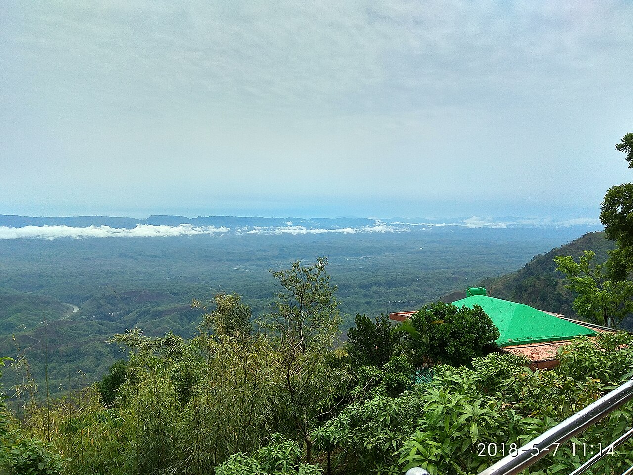
Nilgiri, Bandarban
At 1,600m, Nilgiri's hillside resort floats above a sea of cloud at sunrise — one of the highest viewpoints in the Chittagong Hill Tracts.

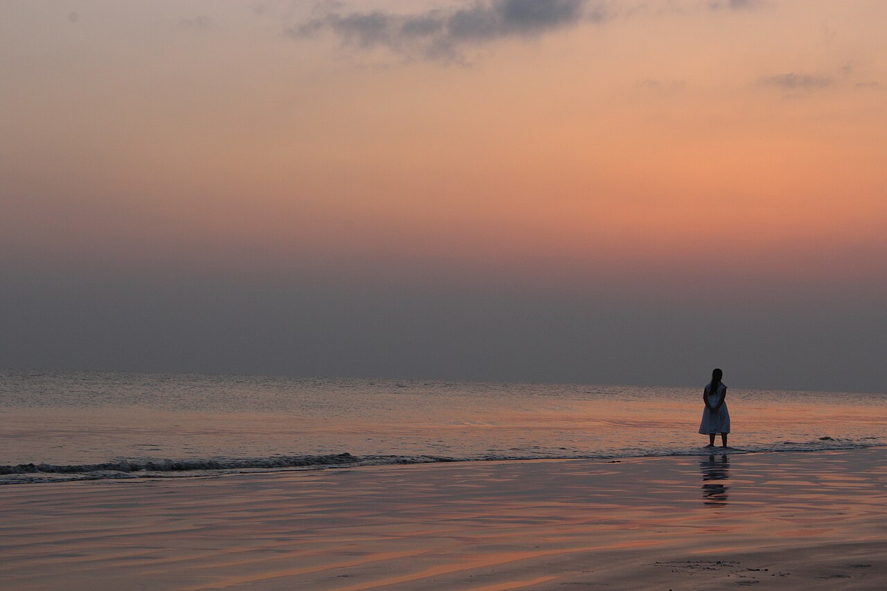
Kuakata Beach, sunset
A lone figure on the sand as the sun sets over the Bay of Bengal — the "Sagar Kannya" beach, Bangladesh's other great stretch of coast.

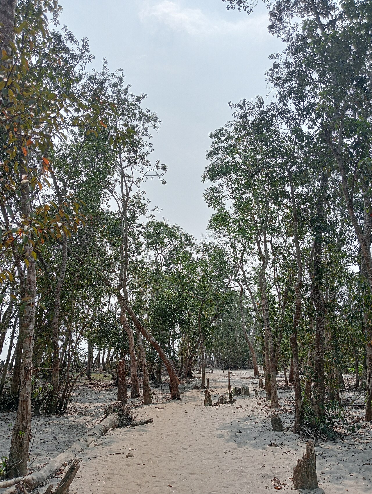
Gangamati Forest Reserve, Kuakata
A quiet sandy trail through the coastal forest belt behind Kuakata's dunes — shaded walking, wild shrubs and the distant crash of surf.

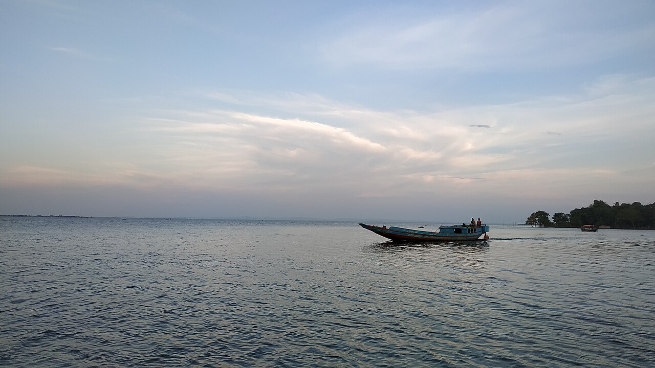
Hakaluki Haor, Sylhet
A boat crossing South Asia's largest wetland at dusk — a vast shallow lake in monsoon that shrinks to a mosaic of rice and water each winter.

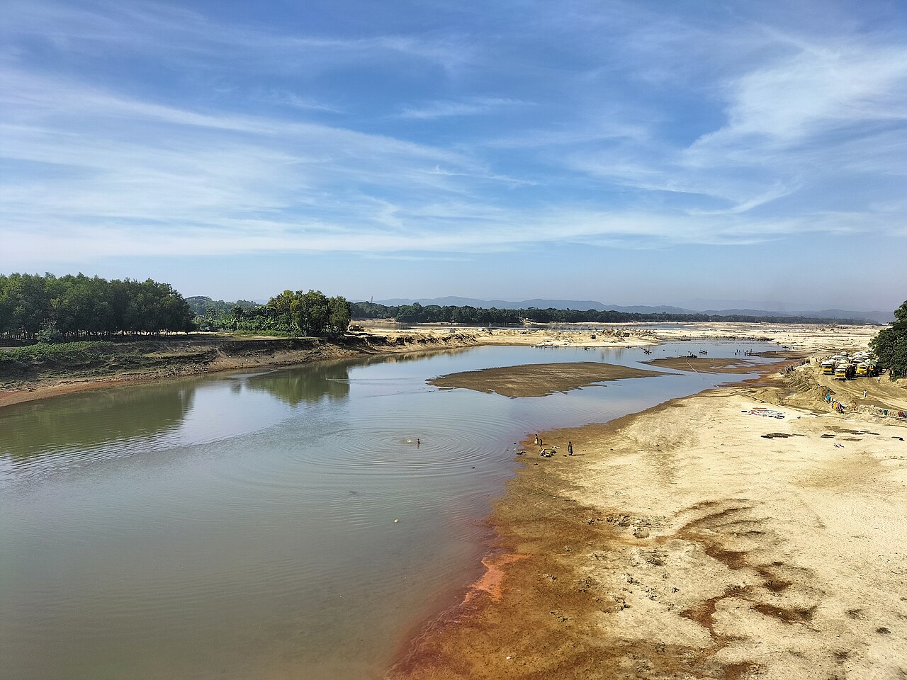
Someshwari River, Netrokona
The shallow, fast-flowing Someshwari as it emerges from the Meghalaya hills — clear water over a sandy bed near Durgapur.

All images listed above are also used in the Beauty of Bangladesh photo gallery under the same licences.
Data & estimates
Cost ranges, day templates and visa groupings are compiled and maintained by hand for this project, drawing on public travel information and first-hand experience. They are indicative and updated periodically. Visa summaries are guidance only — the authoritative source is always an official Bangladesh government mission or e-visa portal.
Fonts
Headings are set in Fraunces and body text in Inter, both open-source typefaces served via Google Fonts under the SIL Open Font License.